PLATE TECTONICS: A SCIENTIFIC
REVOLUTION UNFOLDS 2
INTRODUCTION
Plate Tectonics: A Scientific Revolution Unfolds
CHAPTER OUTLINE
1.
2.
The Origin of Continents and Oceans
18
3.
4.
19
boundaries
5.
Constructive plate margins
20
6.
21
22
7.
8.
23
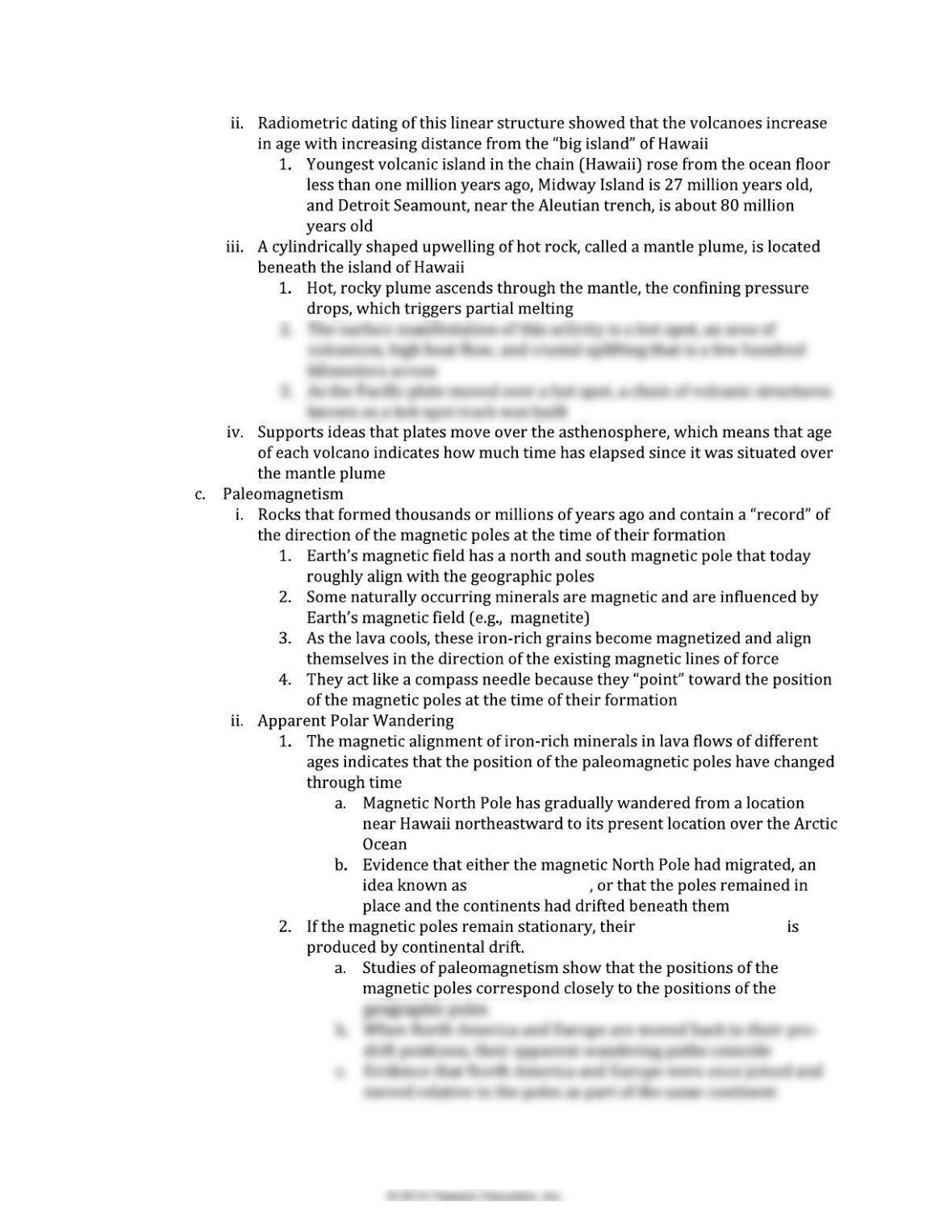
polar wandering
apparent movement
24
9.
10.
25
LEARNING OBJECTIVES/FOCUS ON CONCEPTS
2.2 List and explain
26
2.4 List explain
2.6 Compare and contrast name
2.8 List describe
2.10 Summarize explain
TEACHING STRATEGIES
Muddiest Point:
The following are fundamental ideas from this chapter that students have the most difficulty
grasping and activities to help address these misconceptions and guide learning.
A. Movement of Plates
27
50 kilometers thick, density of 2.7 g/cm3
(Supplies: metal pan, spray bottle of water, about 1 cup of sugar, a candle or
tealight, lighter/matches).
(Supplies: blank overhead and overhead pens)
B. Characteristics of Plates and Boundaries
C. Paleomagnetism
28
TEACHER RESOURCES
Web Resources
Animations and Interactive Maps
Maps and Imagery
29
ANSWERS TO QUESTIONS IN THE CHAPTER:
CONCEPT CHECKS
2.1 FROM CONTINENTAL DRIFT TO PLATE TECTONICS
2. North American geologists were most opposed to the continental drift hypothesis because
2.2 CONTINENTAL DRIFT: AN IDEA BEFORE ITS TIME
2. The discovery of the fossil remains of Mesosaurus in both South America and Africa, but
nowhere else, supports the continental drift hypothesis because this was a small aquatic
3. The prevailing view, in the early 20th century, of how land animals migrated over vast ocean
4. Wegener accounts for the existence of glaciers in the southern landmasses at a time when
areas in North America, Europe, and Asia supported lush tropical swamps by suggesting that
2.3 THE GREAT DEBATE
1. The two aspects of continental drift most objectionable to Earth scientists were (1) his
2.4 THE THEORY OF PLATE TECTONICS
1. Following WWII, oceanographers were able to produce much better pictures of the seafloor
2. The lithosphere consists of the uppermost mantle and overlying crust, and is a strong, rigid
layer. The lithosphere contains the plates. The asthenosphere is a weaker region of the upper
3. The seven major lithospheric plates include: the North American, South American, Pacific,
African, Eurasian, Australian-Indian, and Antarctic plates.
4. The three types of plate boundaries are convergent, divergent and transform. At convergent
2.5 DIVERGENT PLATE BOUNDARIES AND SEAFLOOR SPREADING
1. At divergent boundaries, two plates move away from one another. These boundaries are the
2. The average rate of seafloor spreading in modern oceans is about 5 cm (2 inches) per year.
3. The oceanic ridge system is characterized by an elevated ridge created by hot, newly formed
oceanic crust (hot rock is less dense than cool rock). At the axis of the ridge, a rift valley
4. Continental rifting occurs where a continental landmass is split into segments, in a similar
manner to mid-ocean ridge divergence. This occurs in areas where plate motions create
2.6 CONVERGENT PLATE BOUNDARIES AND SUBDUCTION
2. A continental volcanic arc is created where oceanic lithosphere converges with continental
crustat an oceanic-continental convergent plate boundary. These volcanic arcs are
characterized by thickened continental crust (from ascending magma) as well as volcanic
mountains. Examples include the Andes Mountains of South America and the Cascade Range of
the northwest United States.
31
3. Deep ocean trenches are one of the surface features of continental-oceanic and oceanic-
oceanic convergent plate boundaries. Trenches are long, linear, deep areas of the seafloor
4. Due to its mineralogy, oceanic lithosphere is more dense than continental lithosphere.
Continental crust, therefore, tends to be buoyant upon the mantle, and thus remains floating at
The Himalayan Mountains are a classic example of surface features created by continental-
continental convergent plate boundaries. When two slabs of continental lithosphere converge,
their buoyancy prevents either from being subducted. Thus, a collision between the two slabs
2.7 TRANSFORM PLATE BOUNDARIES
1. Along a transform plate boundary, two plates slide horizontally past one another without the
production or destruction of lithosphere.
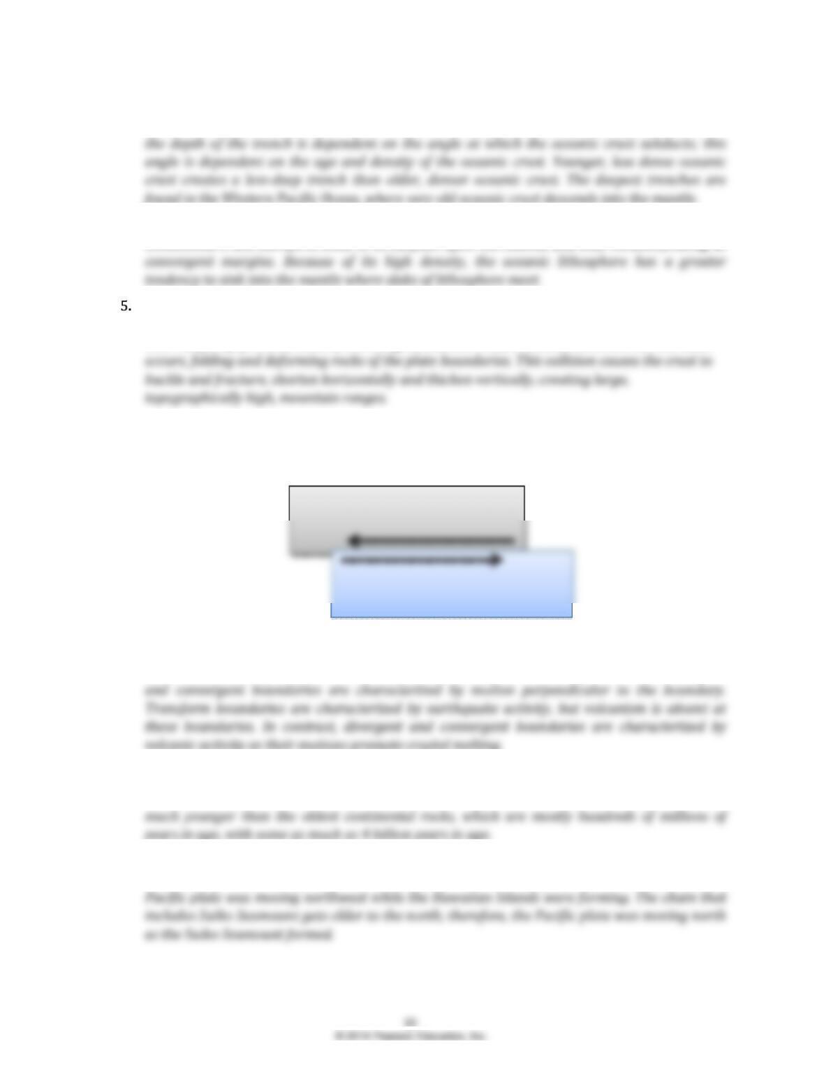
2. Transform boundaries are created where two plates move horizontally past one another and
are characterized by deep, vertical faults parallel to the plate boundary. In contrast, divergent
2.8 TESTING THE PLATE TECTONICS MODEL
1. The oldest sediments recovered by deep-ocean drilling are 180 million years in age. These are
2. The Hawaiian Islands get older to the northwest, with Hawaii being about 0.7 million years old
and Midway Island being about 27 million years old. Assuming hot spots remain fixed, the
3. Sedimentary cores drilled from the ocean floor provided age-distance relationships to support
the concept of seafloor spreading. Sediment age increases with distance from a divergent plate
4. High- and low-intensity magnetic stripes on the seafloor provided further evidence for seafloor
spreading. As magma cools and solidifies at a spreading center (oceanic ridge), the magnetic
2.9 HOW IS PLATE MOTION MEASURED?
1. Transform faults create the offsets of the mid-ocean ridge systems and are aligned parallel to
2. On Figure 2.32, rate of motion is indicated by the length of the red arrows; those arrows that
2.10 WHAT DRIVES PLATE MOTIONS?
1. Slab pull is driven by cold, dense slabs of oceanic lithosphere sinking (subducting) into the
warm, less dense asthenosphere. Ridge push is gravity-driven; because the ridge is elevated
2. The whole-mantle convection model suggests that cold oceanic lithosphere sinks to the core–
3. Whole-mantle convection stirs the entire mantle, from the surface to the core-mantle
boundary. This type of convection is characterized by slabs of cold oceanic lithosphere that
sink to the core-mantle boundary, and rising plumes of hot mantle materials from the core-
mantle boundary.
33
EYE ON EARTH
EOE #1 GULF OF CALIFORNIA
2. The Colorado River flows into the northern end of the Gulf of California.
3. The inland sea shown in the satellite image is the Salton Sea.
EOE #2 RED SEA VOLCANIC ISLANDS
1. The new volcanic island shown was produced by the divergent boundary of the Red Sea
Rift.
3. These plates are moving away from each other.
GIVE IT SOME THOUGHT
1.
a. The observation that continents, especially South America and Africa, led Alfred
c. Yes, Wegner followed the basic principles of scientific inquiry. He developed a
2.
a. A. oceanic-continental convergence, B. oceanic-oceanic convergence, C. continental-
continental convergence
b. Volcanic island arcs form on oceanic crust at oceanic-oceanic convergent boundaries.
3. This idea is not consistent with the Theory of Plate Tectonics for several reasons. One,
California represents a section of continental crustwe know that continental crust has a low
density, and thus is buoyant in the asthenosphere. This buoyancy would prevent sinking IF this
4.
a. Five portions of plates are shown.
b. Assuming that creation of lithosphere at the ocean ridge and destruction of
5. The large size of Martian shield volcanoes suggests a very long-lived source of magma. On
Earth, the motion of the Pacific Plate continues to move the plate over the hotspot, creating
6. If both had been spreading at the same rate, the pattern of stripes for the two locations would
be identical; representing changes in Earths magnetic field over time. On Spreading Center B,
7. In Pangea, Australia and Amercia were closer to one another geographically as part of one
large supercontinent. Therefore, similar fossil species may have existed throughout the
8. Density differences at convergent boundaries create the processes and features of these
boundaries. A trench is formed where more dense oceanic crust subducts beneath less dense
oceanic or continental crust. Further, this density drives the slab to subduct into the
9.
a. London, on the Eurasian plate, and Boston, on the North American plate, are currently
36