Exercise 4, Introduction
1. Sketch representative topographic cross sections of volcanoes with high-viscosity,
intermediate-viscosity, and low-viscosity lavas.
2. Refer to Figure 4.1 and Table 4.2, and describe briefly the volcanic products and hazards for
both people and property that are likely to exist in the following locations.
a. If people or property are on a ridge top, close to a composite volcano?
3. Do basaltic lava flows present a greater hazard to people or to property? Why?
4. Refer to Figure 4.2. If you live to be 100 years old:
a. How many eruptions the size of Kilauea or Unzen are likely in your lifetime?
At one every several months, perhaps 300 to 400.
5. Use the graph below, and build a histogram to illustrate the data you calculated in answering
question 4 above. Determine your own vertical scale.
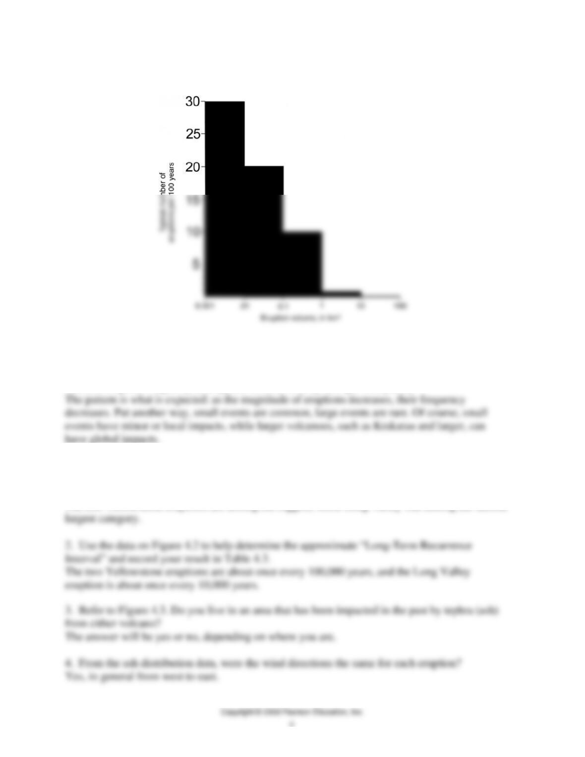
6. From the data on your graph (question number 5), describe the relationship between eruption
size and eruption frequency (the typical number of eruptions per 100 years).
QUESTIONS 4, PART A1
1. How do the sizes of the larger Yellowstone and Long Valley eruptions (Table 4.3) compare
with eruptions shown in Figure 4.2?
The two Yellowstone eruptions are among the biggest, while Long Valley was among the second
5. Figure 4.3 shows where tephra from Long Valley and Yellowstone are found now. Do you
think that the current distribution of tephra is an accurate map of the original distribution?
6. What geologic processes might have changed the distribution of ash since the time of
eruption?
7. Given their recurrence interval, do you think it is appropriate to worry about the eruption of a
supervolcano? Why or why not?
8. Figure 4.2 shows that the eruption of Tambora in 1815 produced between 100 and 1000 km3
of new material (it has been estimated at about 150 km3 of new material). This eruption led to
“the year without a summer” in some parts of the United States.
a. The eruption of Yellowstone about 640,000 years ago was how many times larger than the
eruption of Tambora?
b. If Tambora had moderate global climatic impacts, what impacts would a Yellowstone-size
eruption have today?
There likely would be global cooling that could last for several years. Tambora in Indonesia led to
QUESTIONS 4, PART A2
Long Valley
Figure 4.4 shows the location and timing of recent volcanic activity in the Long Valley area. The
named sites on this map have all been active in the last 5,000 years. The population of Lee Vining is
approximately 500, the population of June Lake is somewhat lower, and the population of
Mammoth Lakes is approximately 7,500. There are seasonal variations in population,
however, due to tourism and skiing.
1. How many volcanic eruptions (not including steam blasts) occurred in the past 5,000 years?
2. What is the average recurrence interval between eruptions for the past 5,000 years?
3. How many volcanic eruptions occurred in the past 1,000 years? 8
4. What is the average recurrence interval between eruptions for the past 1,000 years?
5. According to the U.S. Geological Survey (Hill and others, 1998), it has been about 250 years
since there was an eruption at Paoha Island in Mono Lake. Is this area due for an eruption or not?
Explain your reasoning.
6. How many steam blasts occurred in the past 5,000 years?
7. a. What is the geographic relation of steam blasts to the 760,000-year-old caldera?
b. What does this relationship imply about the origin of steam blasts?
8. What geologic factors might contribute to there not being any steam blasts identified that are
more than 1,000 years old?
The blasts are usually small and erosion, burial by new deposits, the development of soils,
9. Is there a trend in the spatial distribution (northern, southern, central region, etc.) of volcanic
eruptions over the past 5,000 years that can help predict where the next eruption might take place?
Explain.
The youngest eruptions have been in two general areas: inside the caldera and at Mono Lake.
10. Approximately 600 years ago eruptions from the South Deadman Creek dome included both
pyroclastic flows that traveled about 5 km from the vent, and ash that traveled about 15 km from
the vent. If this dome erupts again, are any populated areas at risk? If so, which one(s)?
This is the Deadman Creek Dome on Figure 4.4. Students can convert the 10 mi bar scale to km,
11. If other vents were to have similar eruptions, could they place any of the populated areas at
risk? Explain.
Yes. Lee Vining could be at risk from eruptions of volcanoes in and near Mono Lake.
12. Post-caldera viscous rhyolite flows have flowed up to approximately 10 miles from their vent
areas. Refer to Figure 4.6. If a rhyolitic lava eruption were to occur from a vent area at the bottom
of the canyon, would it likely present a hazard to developed areas on the canyon rim? Explain.
13. How would the hazards be different at Canyon if the eruption were a pyroclastic flow?
Basaltic eruption? Explain.
An explosive pyroclastic eruption would certainly put the Canyon area at risk.
14. Mammoth (near the north edge of the map) is located in an area of precaldera rocks. There is a
series of mapped volcanic vents south of Mammoth. Based on the topography of the area (Figure
4.5), is Mammoth likely to be at risk if one of these vent areas erupts a rhyolite flow? A pyroclastic
flow? A basalt flow? Explain.
First, topography is not on the map. But students need to know that Mammoth is at a lower
15. What if there were new volcanic eruptions in the Old Faithful area? What kind of eruption(s)
could threaten other developed areas?
16. If a small hydrothermal explosion like Porkchop (Figure 4.7) were to occur, is the damage
likely to be widespread?
17. What impacts could a 2-mile-diameter hydrothermal explosion have if it occurred in a
populated area?
18. Yellowstone Lake is the large lake on the eastern part of the caldera (Figure 4.5). What impacts
might be expected if a 2-mile-diameter hydrothermal explosion occurred under the lake? This is a
could threaten developed areas along the shore of the lake.
QUESTIONS 4, PART B
1. Table 4.4 lists some hazards (adapted from U.S. Geodynamics Committee, 1994) that have
been identified as existing at Mount Rainier. Fill in the blanks in the table, using “H” for high
risk, “M” for moderate risk, and “L” for low risk. Refer to Tables 4.1 and 4.2 and Figure 4.1 to
help you fill in the blanks in the table. You may also wish to refer to your textbook.
Table 4.4 Volcanic Hazards and Their Relative Risks at Mt. Rainier
Hazard Risk Close
Risk Away Risk During an
Eru
p
tion Risk in Dormant
Periods
Lava flow M? L H L
Phreatic
eruptions H L M L
Cone collapse H H M?
L? M? parts of
the cone that
have been
extensively
hydrothermally
altered may
collapse without
warning or when
shaken by an
earthquake
Debris M? de
p
ends on M? see notes
avalanche H how large H above
2. A major concern for people living below the slopes of Mount Rainier is the possibility of large
landslides and lahars. These could occur without warning during dormant periods of the volcano if
the rocks become too weakened by heat and fluids that alter them, or if the rocks are shaken during a
regional (not volcano-related) earthquake. Use the topographic maps in this exercise and at the back
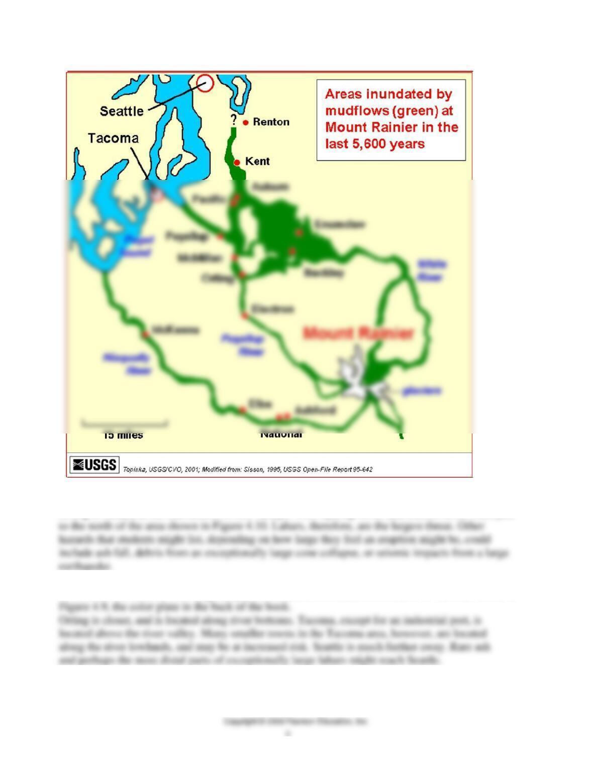
3. What volcanic hazards do the citizens of Orting need to be aware of?
Orting is located at the intersection of two valleys. The Puyallup River and Carbon River meet just
4. How are the hazards in Orting likely to be different from hazards in Seattle or Tacoma? Refer to
5. Review the aerial photograph (Figure 4.10) and topography of Orting as shown on Figure 4.9.
a. If you were in charge of planning an evacuation because of an imminent volcanic hazard, what
geological, economic, and social factors should you include in developing your plan?
b. Assume that there are about 30 minutes from the time a lahar starts on the upper slopes of Mt.
Rainier until it reaches Orting. Where do you suggest citizens of Orting go? Explain your choice. If
feasible, it may help students visualize the problem if instructors can show them the Orting area on
c. In 1990, the population of Orting was about 2,100 people. In 2005 it was approximately 4,500
QUESTIONS 4, PART C
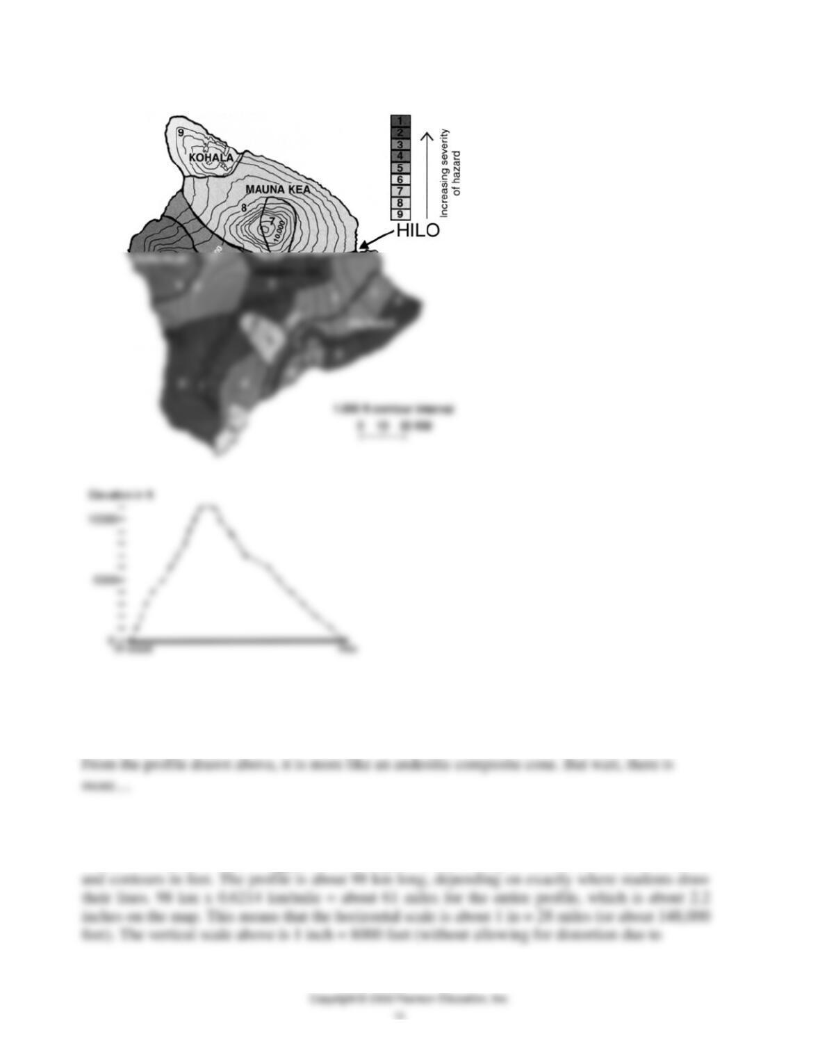
1. Use the data in Table 4.5 and Figures 4.11a and b. Is the hazard from lava flows greater in the
northern or southern part of the island of Hawaii?
Southern part, due to more recent (ongoing, as of this writing) volcanic activity.
2. Is anywhere on the island completely safe from volcanic hazards? Explain.
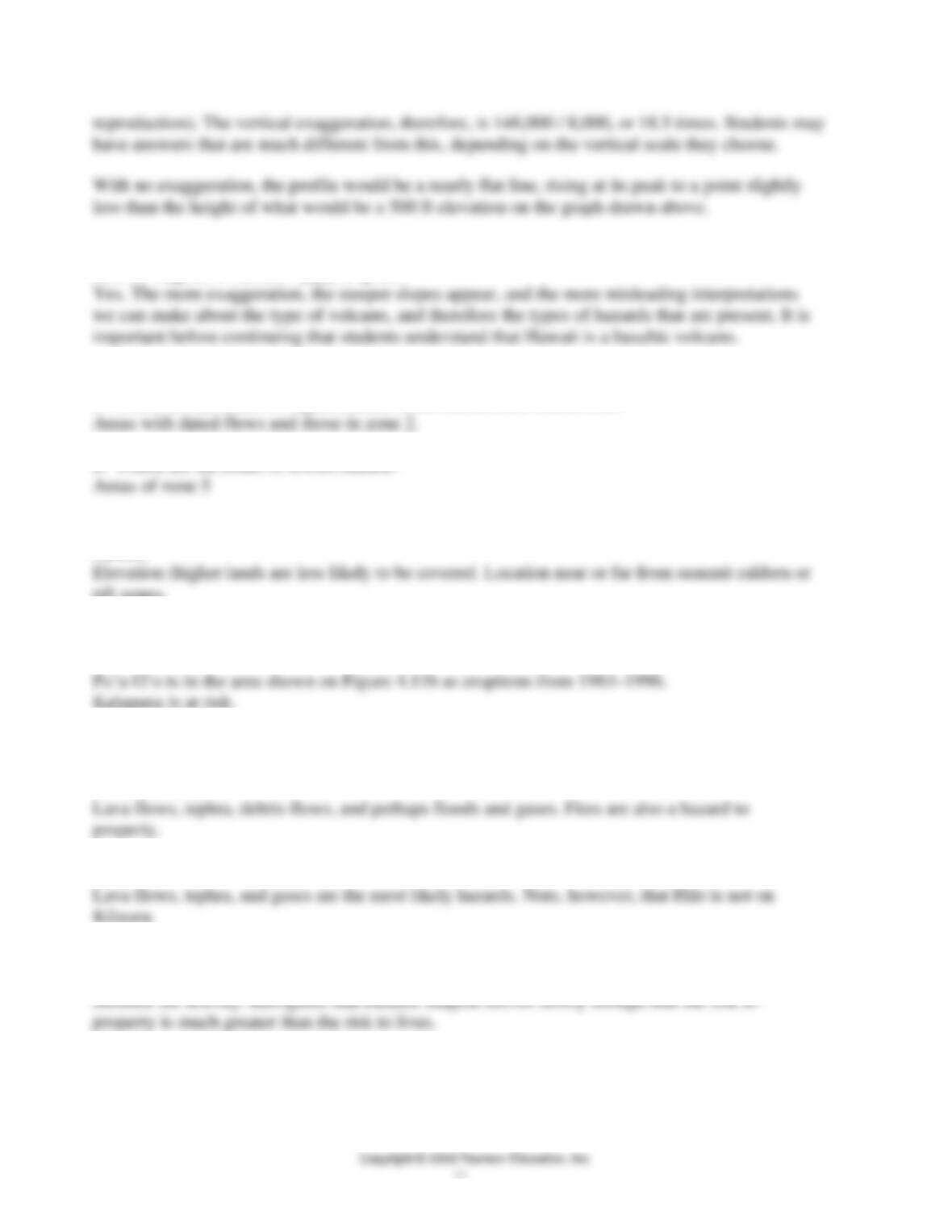
3. Use topographic data on Figure 4.11a and sketch on lined or graph paper a topographic profile
a. From its profile, is Hawaii most like a basaltic shield volcano, an andesitic composite cone, or a
rhyolitic volcano?
b. What is the vertical exaggeration of your profile? What would the profile look like with no
exaggeration?
Calculation of the vertical exaggeration is complicated by having a horizontal scale in kilometers
c. Does the amount of vertical exaggeration that you drew influence your interpretation of the
kind of magma in Hawaii? ____ Explain.
4. Look at Figure 4.11b. Analyze it to answer the following questions.
a. Where are the zones of highest hazard from Kilauea and Mauna Loa?
b. Where are the zones of lowest hazard?
c. What geologic factors might be different between zones of higher hazard and zones of lower
hazard?
rift zones.
d. Using the information on these two maps, which town(s) would likely be subject to hazards
from the eruption of Pu’u O’o on the east rift zone of Kilauea? (Note that lava flows downhill.)
5. Review hazards listed on Tables 4.1 and 4.2. Lava is not the only hazard on Hawaii. What
other hazards could be expected in Hilo from an eruption of:
a. Mauna Loa?
b. Kilauea?
6. If Mauna Loa is showing early signs of an eruption, such as increased seismic activity and
swelling of the volcano from rising magma, what actions should the residents of Hilo take?
7. What data are needed to determine the areas on the island that are at risk from tephra? Gases?

Wind direction and intensity of expected eruption. Amount of gases being released.
8. Are these areas likely to be large or small? What is your evidence?
In Hawaiian eruptions, the areas impacted by tephra are likely to be relatively small. Basaltic
9. If you plan to vacation at or move to the Island of Hawaii, what are some data that would be
helpful to know before your trip?
Is it erupting? How violently? Where on the island will we be visiting?