CHAPTER 3
Site Exploration and Characterization
QUESTIONS AND PRACTICE PROBLEMS
Introduction
3.1 Define site exploration and site characterization.
Solution
Site exploration is the exploration of the subsurface using borings and other techniques to
3.2 List in chronological order the steps involved in performing a site exploration and
characterization program.
Solution
1. Project assessment
Section 3.1 Project Assessment
3.3 What information should be gathered for the planning of a site exploration and
characterization program?
Solution
1. The types, locations, and approximate dimensions of the proposed improvements.
Section 3.2 Literature Search
3.4 What information can be obtained from geologic maps?
3-2 Site Exploration and Characterization Chap. 3
Solution
Geologic maps show the extents of various geologic formations, alignments of faults,
Section 3.5 Subsurface Exploration
3.5 Describe the following drilling methods and give advantages and disadvantages of each:
solid stem auger, hollow stem auger, rotary wash, and coring.
Solution
•Solid stem auger: The auger is lowered into the hole and rotated to dig into the
soil. Then, it is removed, the soil is discharged onto the ground, and the process
oAdvantages: cost effective; suitable for all coarse- and fine-grained soils;
allows relatively undisturbed samples to be obtained through the hollow
stem; suitable below the groundwater table.
oDisadvantages: cost and size of the equipment required to operate the
auger.
•Rotary wash: The boring is filled with drilling mud, a mixture of bentonite or
attapulgite clay and water. This drilling mud exerts a hydrostatic pressure on the
walls of the boring, thus preventing caving or squeezing. During drilling, the
Chap. 3 Site Exploration and Characterization 3-3
3.6 Describe the advantages and disadvantages of using an exploratory trench in site
exploration.
Solution
Advantages
•Provides more subsurface information than a boring of comparable depth.
Section 3.6 Soil and Rock Sampling
3.7 Describe the concept of sample disturbance and explain the relationship between sampler
type and disturbance.
Solution
Soil sample disturbance occurs when the soil is not recovered completely intact and its
3.8 Describe the Shelby tube sampler and the heavy-wall sampler and state the advantages
and disadvantages of each.
Solution
Shelby tube
Advantages:
•Provides soil samples.
3-4 Site Exploration and Characterization Chap. 3
Disadvantages
•Difficult to use in hard soils
3.9 A one-story, 50-m wide × 90-m long manufacturing building is to be built on a site
underlain by medium dense to dense silty sand with occasional gravel. This soil probably
has better-than-average engineering properties and average uniformity. There are no
indications of previous grading or fill at this site, and the groundwater table is believed to
be about 30 m below the ground surface. We anticipate supporting this building on
spread footing foundations located about 0.5 m below the ground surface. There are no
accessibility problems at this site.
(a) How many exploratory borings will be required, and to what depths should they
be drilled?
(b) What type of drilling and sampling equipment would you recommend for this
project?
Solution
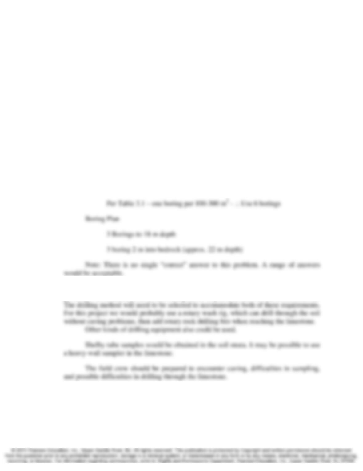
a.
()()
2
m 4500m 90m 50 ==A
Chap. 3 Site Exploration and Characterization 3-5
3.10 A one-story, 20-m wide × 50-m long concrete tilt-up office building is to be built at a site
near a wetlands. Previous exploratory borings at nearby sites encountered about 1 m of
moderately stiff clayey fill underlain by about 4 m of very soft organic silts and clays,
then 15 m of progressively stiffer sandy clays and clayey sands. Limestone bedrock is
located about 20 m below the ground surface. The groundwater table is thought to be at a
depth of about 0.5 m. Because of the soft soils, we will probably need to support this
building on deep foundations that extend at least into the stiffer soils, and possibly to
bedrock. There are no accessibility problems at this site.
(a) How many exploratory borings will be required, and to what depth should they be
drilled?
(b) What type of drilling and sampling equipment would you recommend for this
project, and what kinds of problems should the field crew be prepared to solve?
Solution
a.
()()
2
m 0001m 50m 20 ==A
b. The very soft organic silts and clays will almost certainly have squeezing and caving
problems. In addition, some of the borings need to penetrate into the limestone bedrock.
3.11 A ten-story steel-frame office building with a 200 ft × 200 ft footprint is to be built on a
site underlain by alluvial sands and silts. These soils are fairly uniform and probably
have good engineering properties. The building will have one 12-ft deep basement and
will probably be supported on either a mat foundation located 5 ft below the bottom of
3-6 Site Exploration and Characterization Chap. 3
the basement, or a deep foundation extending about 60 ft below the bottom of the
basement. The groundwater table is about 30 ft below the ground surface and bedrock is
several 100 ft below the ground surface. There are no accessibility problems at this site.
(a) How many exploratory borings will be required, and to what depth should they be
drilled?
(b) What type of drilling and sampling equipment would you recommend for this
project?
Solution
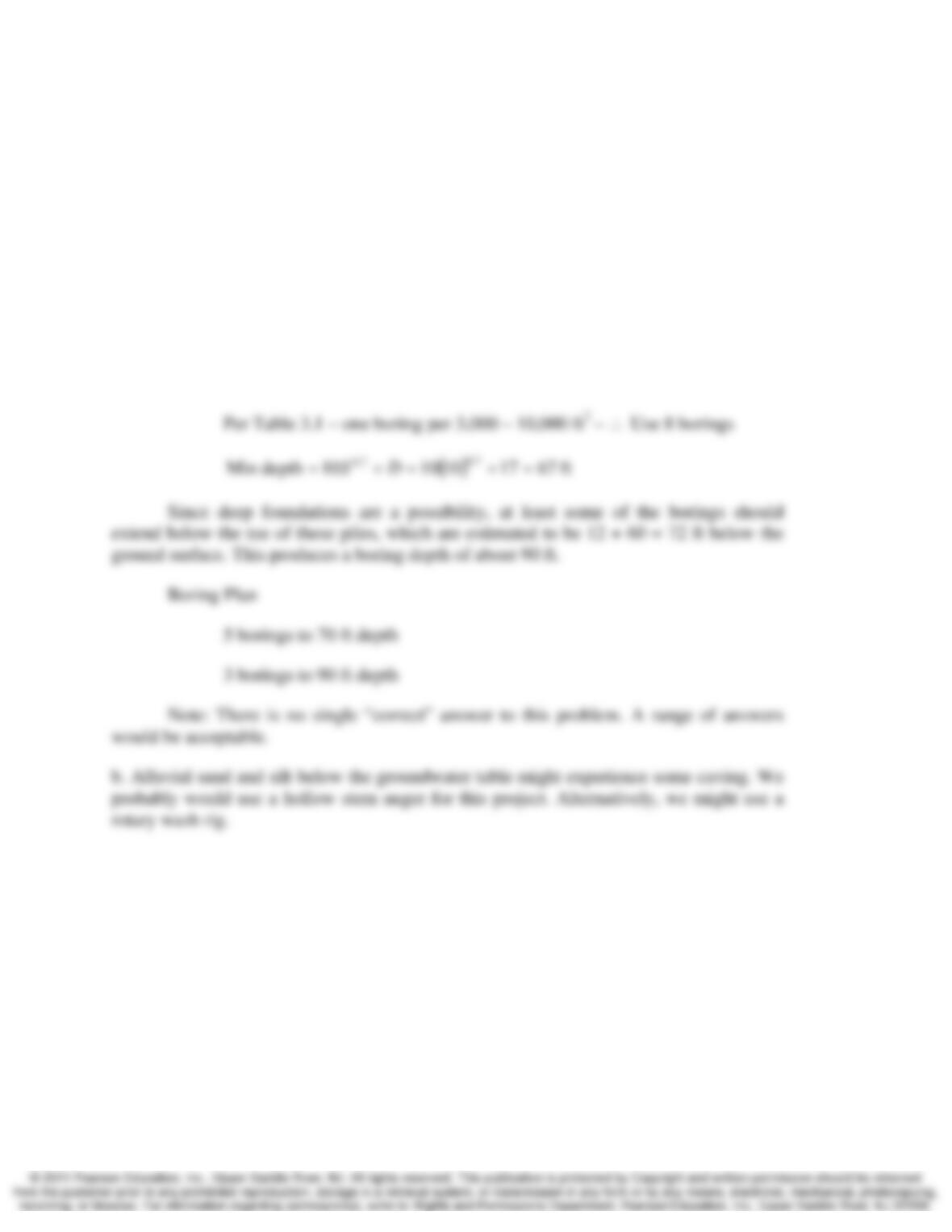
a.
()()
2
m 40,000ft 200ft 200 ==A
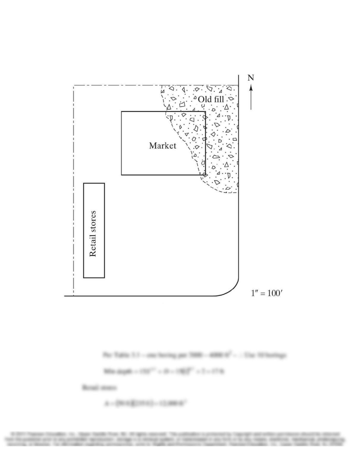
3.12 A small commercial development consisting of a one-story supermarket and a one-story
retail store building is to be built on the site shown in Figure 3.40. The proposed spread
footing foundations will be located at a depth of 2 ft below the ground surface. The site
has never been developed before, but a study of old aerial photographs indicates a fill was
placed in the northeast section. This fill appears to be up to 5-ft thick, probably was not
compacted, and most likely will need to be removed during construction. However, we
may be able to reuse this material as fill, so long as it does not contain trash or other
deleterious substances. The remainder of the soils are probably stiff clayey silts and
sandy silts. The groundwater table is believed to be about 20 ft below the ground surface.
There are no accessibility problems at this site.
Chap. 3 Site Exploration and Characterization 3-7
Develop a subsurface exploration program and present it as a 250–350 word
memo to your field crew instructing them what to do. Be sure to include a copy of the
site plan marked with the proposed location of each activity.
Solution
Market
()()
2
ft ,00003ft 150ft 200 ==A
3-8 Site Exploration and Characterization Chap. 3
Memorandum to Field Crew
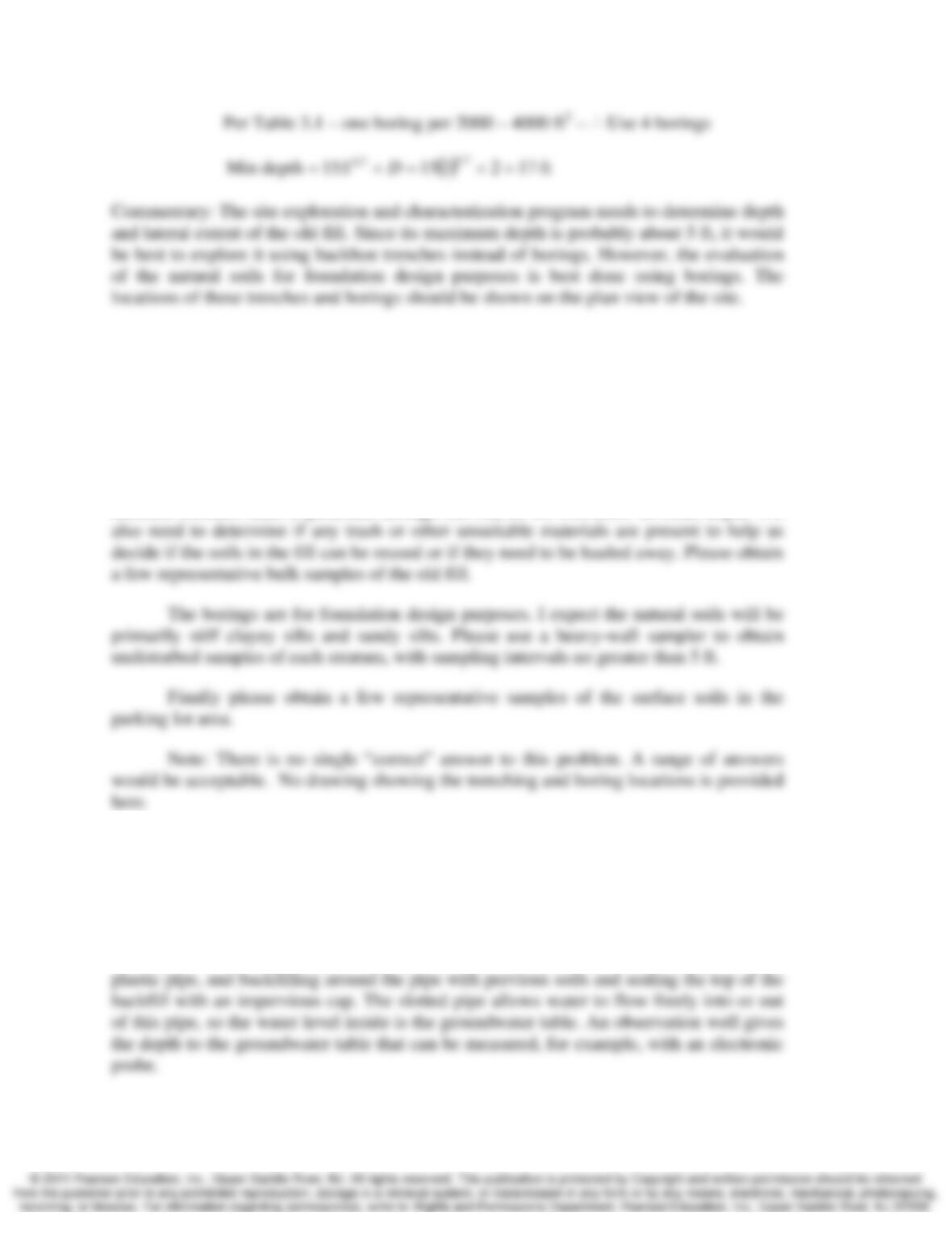
Please schedule a backhoe and a hollow stem drill rig to trench and drill at the
proposed shopping center site. The approximate locations and depths of these trenches
and borings are shown on the attached drawing.
An old fill is located in the northeast corner of the site, as shown on the map. The
lateral limits shown are approximate, and the depth is probably no more than 5 ft. The
backhoe trenches need to penetrate through this fill, so we will know its exact depth. We
Section 3.7 Groundwater Exploration and Monitoring
3.13 Describe how to install an observation well and what it measures.
Solution
The installation of an observation well consists of drilling a borehole, inserting a slotted
Chap. 3 Site Exploration and Characterization 3-9
Section 3.9 In Situ Testing
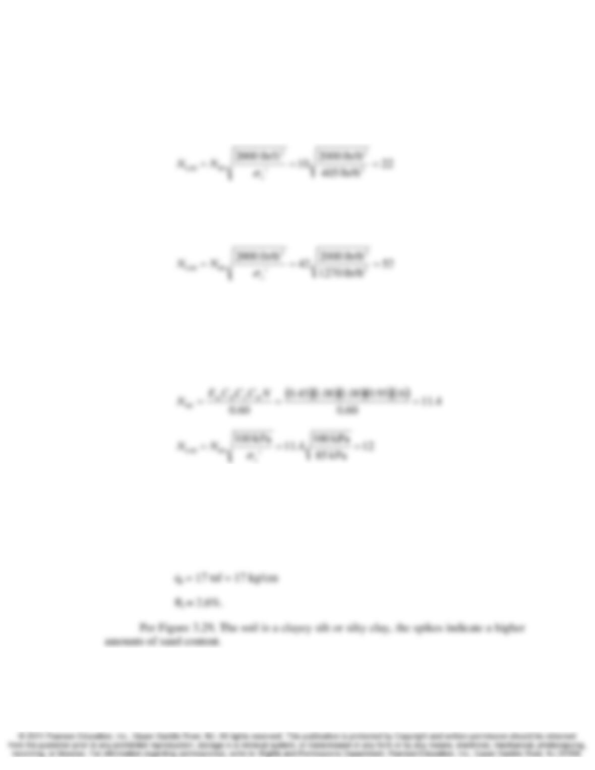
3.14 The vertical effective stress at Sample 1 in Figure 3.14 is 405 lb/ft2. Compute N1,60.
Solution
3.15 The vertical effective stress at Sample 3 in Figure 3.14 is 1270 lb/ft2. Compute N1,60.
Solution
3.16 A standard penetration test has been performed at a depth of 6.5 m in a medium sand
using a standard sampler and a USA-style donut hammer. The N-value recorded in the
field was 16. The boring diameter was about 100 mm, and the vertical effective stress at
the test location was 85 kPa. Compute N1,60.
Solution
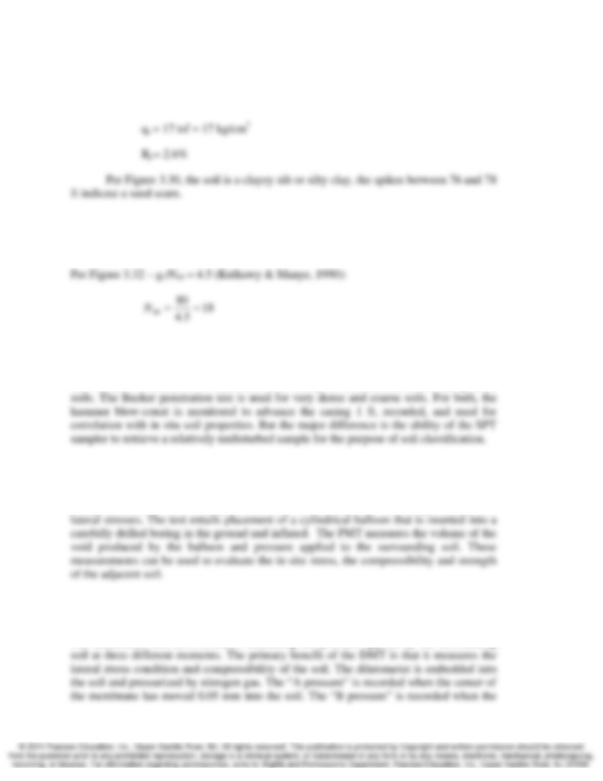
3.17 Using Figure 3.29, classify the soils between depths of 23 and 48 ft in the CPT results
presented in Figure 3.28. Why are there spikes in the qc, fsc, and Rf curves between these
depths?
Solution
Per figure 3.28, most of the soil between 23 and 48 ft has the following characteristics:
3.18 Using Figure 3.29, classify the soils between depths of 66 and 80 ft in the CPT results
presented in Figure 3.29. Why are there spikes in the qc, fsc, and Rf curves between
depths of 76 and 78 ft?
3-10 Site Exploration and Characterization Chap. 3
Solution
Per figure 3.29, most of the soil between 66 and 80 ft has the following characteristics:
3.19 A cone penetration test on a sandy soil with mean particle size of 0.5 mm produced a qc
of 80 kg/cm2. Estimate the equivalent SPT N60-value.
Solution
3.20 Compare the standard penetration test and the Becker penetration test.
Solution
The Standard Penetration Test (SPT) is used mostly for medium dense and fine-grained
3.21 Describe how to perform a pressuremeter test and what it measures.
Solution
The pressuremeter test (PMT) produces direct measurements of soil compressibility and
3.22 Describe how to perform a dilatometer test and what it measures.
Solution
The dilatometer test (DMT) entails measuring the pressure applied by the surrounding

Chap. 3 Site Exploration and Characterization 3-11
Comprehensive
3.23 An engineer is planning to use a 24-inch diameter bucket auger similar to the one in
Figure 3.7 to drill several exploratory borings at a site adjacent to a lake. The underlying
soils are probably soft clays and silts with N-values of less than 5. Is this a wise choice?
Why or why not?
Solution
This would be very poor choice, and is almost certainly doomed to failure. Soft clays and
3.24 What type of soil sampling equipment would be most appropriate for the soils described
in Problem 3.23? Why?
Solution
3.25 A large compacted fill is to be placed on a site underlain by a 15 m thick layer of
saturated clay. The weight of this fill will cause the clay layer to consolidate, which will
result in large settlements at the ground surface. Since these settlements would have an
adverse effect on buildings and other improvements planned for this site, a settlement rate
analysis, similar to those we will discuss in Chapter 11, is to be performed to estimate the
time required for a certain percentage of the settlement to be completed.
A series of exploratory borings have already been drilled at this site, samples have
been recovered, and laboratory tests have been performed to evaluate the consolidation
properties of the clay. However, to complete the settlement rate analysis, we need to
know if thin horizontal sand seams are present in the clay, and the approximate spacing
between these seams. If they exist at all, these seams are probably less than 100 mm
thick. Although some of the undisturbed samples contained sand seams, more
information is needed.
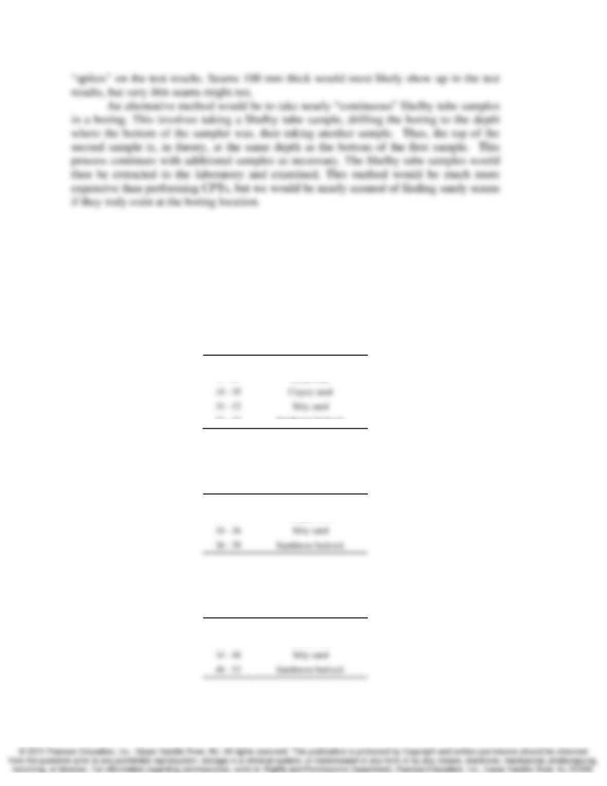
What kind of additional exploration would you do to determine whether or not
more sand seams are present? Be sure to consider both technical feasibility and cost, and
explain the reason for your choice.
Solution
One method would be to perform a series of cone penetration tests. Sand seams would
3-12 Site Exploration and Characterization Chap. 3
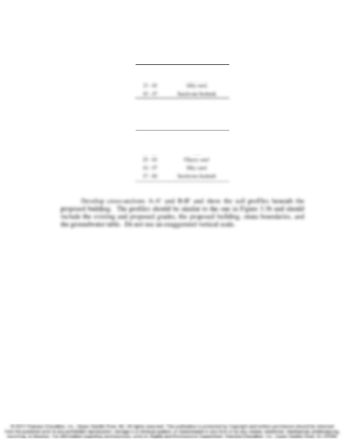
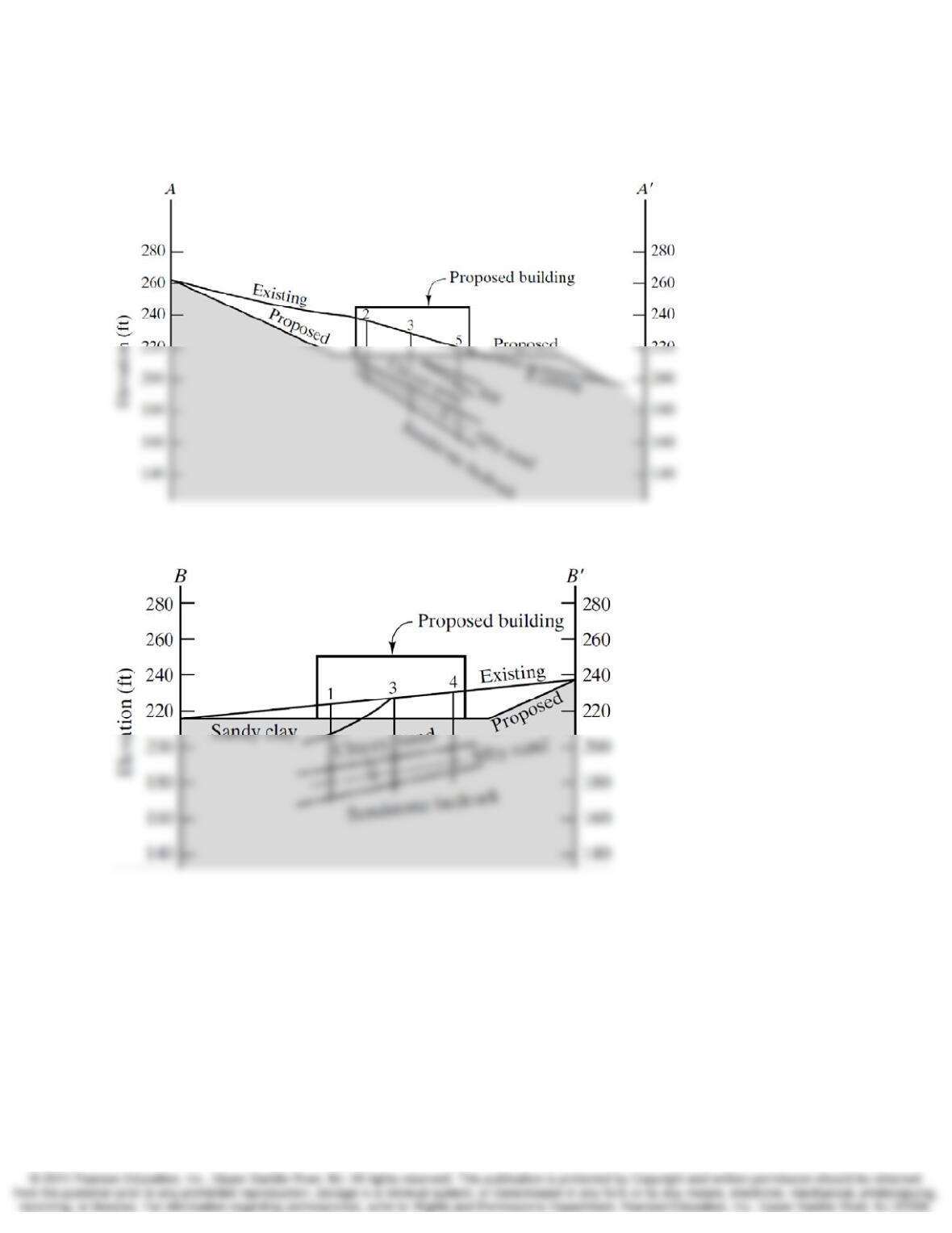
3.26 A level building pad is to be built at the site shown in Figure 3.41 by cutting and filling as
shown. The final pad elevation is to be 215 ft. Then, a three-story steel-frame office
building is to be built.
Five exploratory borings have been drilled to determine the subsurface conditions.
The logs from these borings were summarized as follows:
Boring 1
Groundwater table depth = 44 ft
Depth (ft) Soil or Rock Conditions
0 – 18 Sandy clay
52 – 55 Sandstone bedrock
Boring 2
Groundwater table depth = 31 ft
Depth (ft) Soil or Rock Conditions
0 – 28 Clayey sand
Boring 3
Groundwater table depth = 41 ft
Depth (ft) Soil or Rock Conditions
0 – 34 Clayey sand
Chap. 3 Site Exploration and Characterization 3-13
Boring 4
Groundwater table depth = 40 ft
Depth (ft) Soil or Rock Conditions
0 – 33 Clayey sand
Boring 5
Groundwater table depth = 49 ft
Depth (ft) Soil or Rock Conditions
0 – 17 Clayey sand
17 – 25 Silt
3-14 Site Exploration and Characterization Chap. 3
Solution