19 CONTROL SURVEYS AND GEODETIC REDUCTIONS
Asterisks indicate problems that have partial answers given in Appendix G.
19.1 What are the defining parameters to describe an ellipsoid such as GRS80?
19.2 Define the geoid?
19.3 Using the defining parameters for the PZ-90 ellipsoid from Table 19.1, what are the first
and second eccentricities of the ellipsoid?
19.4* What is the difference between the equatorial circumference of the Clarke 1866 ellipsoid
and that of the WGS84 ellipsoid?
436.0 mC
= 2π(6378206.4 − 6378137.0)
19.5 Determine the first and second eccentricities for the WGS84 ellipsoid.
19.6 Define the conventional terrestrial pole.
and 1905.0. This position is known as the Conventional Terrestrial Pole (CTP).”
19.7 What are the radii in the meridian and prime vertical for a station with latitude
39°06′33.29742″ using the GRS80 ellipsoid?
19.8 For the station listed in Problem 19.7, what is the radius of the great circle at the station
that is at an azimuth of 123°14′08″ using the GRS80 ellipsoid?
19.9* What are the radii in the meridian and prime vertical for a station with latitude
(*)
© 2018 Pearson Education, Inc., Hoboken, NJ. All rights reserved. This material is protected under all
42°37’26.34584″ using the GRS80 ellipsoid?
19.10 For the station listed in Problem 19.9, what is the radius of the great circle at the station
that is at an azimuth of 322°19′48″ using the GRS80 ellipsoid?
19.11* The orthometric height at Station Y 927 is 304.517 m, and the modeled geoid height at
that station −31.893 m. What is its geodetic height?
19.12 The geodetic height at Station Apple is 243.983 m, and the modeled geoid height is
−31.70 m. What is its orthometric height?
19.13 The orthometric height of a particular benchmark is 2513.68 ft, and the modeled geoid
height at the station is –25.03 m. What is the geodetic height of the benchmark? Draw a
19.14 What organization monitors the instantaneous position of the pole?
19.15* The deflection of the vertical components ξ and η are −2.85″ and −5.94″, respectively,
at a station with geodetic coordinates of (29°37′23.0823″ N, 108°56′01.0089″ W). The
observed zenith angle is 42°36′58.8″ along a line with azimuth of 88°52′36.7″. What is
the geodetic zenith angle?
19.16 Repeat Problem 19.15 with ξ and η of −1.06″ and 3.24″, respectively, and an observed
zenith angle of 35°05′26.6″ along a line with an azimuth of 122°11′03.5″.
© 2018 Pearson Education, Inc., Hoboken, NJ. All rights reserved. This material is protected under all
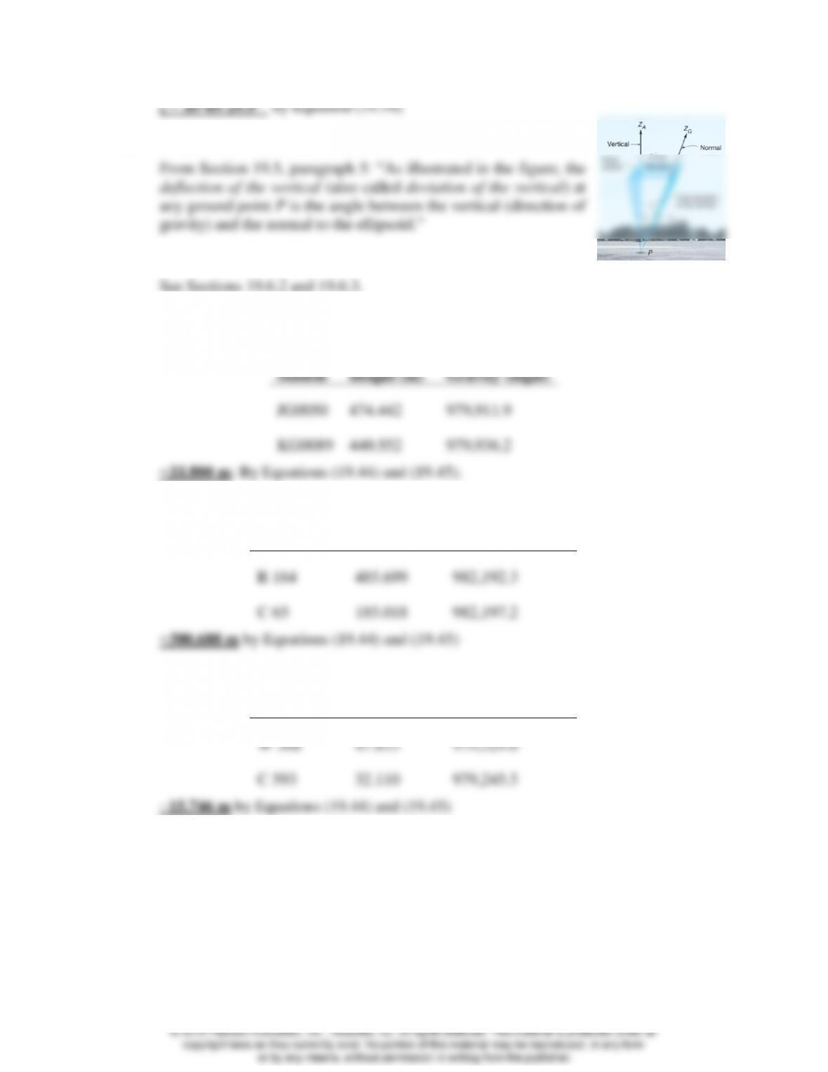
19.17 Define deflection of the vertical.
19.18 Discuss the evolution of NAD83.
19.19* Given the following information for stations JG00050 and KG0089, what should be the
leveled height difference between them?
Station
Height (m)
Gravity (mgal)
JG0050
474.442
979,911.9
KG0089
440.552
979,936.2
−33.880 m; By Equations (19.44) and (19.45).
19.20 Similar to Problem 19.19 except for stations R 164 and C 65 near Fairbanks, AK.
Station
Height (m)
Gravity (mgal)
R 164
485.699
982,192.3
C 65
185.018
982,197.2
−300.688 m by Equations (19.44) and (19.45)
19.21 Similar to Problem 19.19 except for two stations W 368 and C 593 near Gainesville, FL.
Station
Height (m)
Gravity (mgal)
W 368
47.853
979,329.6
C 593
32.110
979,245.5
−15.746 m by Equations (19.44) and (19.45)
19.22* A slope distance of 2458.663 m is observed between two points Gregg and Brian whose
orthometric heights are 458.966 m and 566.302 m, respectively. The geoidal undulations
are −25.66 m and −25.06 m at Gregg and Brian, respectively. The height of the
instrument at station Gregg at the time of the observation was 1.525 m and the height of
the reflector at station Brian was 1.603 m. What are the geodetic and mark–to-mark
distances for this observation? (Use an average radius for the Earth of 6,371,000 m for
𝑅𝛼)
© 2018 Pearson Education, Inc., Hoboken, NJ. All rights reserved. This material is protected under all
19.23 If the latitude of station Gregg in Problem 19.22 was 56°16′22.4450″ and the azimuth
of the line was 135°48′26.8″ what are the geodetic, and mark-to-mark distances for this
observation? (Use the GRS80 ellipsoid).
19.24 A slope distance of 6365.780 m is observed between two stations A and B whose
geodetic heights are 24.483 m and 115.097 m, respectively. The height of the instrument
at the time of the observation was 1.544 m, and the height of the reflector was 2.000 m.
The latitude of Station A is 43°08’36.2947″ and the azimuth of AB is 32°28′21.9″. What
are the geodetic, and mark-to-mark distances for this observation?
19.25 What does the NGS horizontal time-dependent positioning software provide to users?
19.26* Compute the back azimuth of a line 5863 m long at a mean latitude of 45°01’32.0654″
whose forward azimuth is 88°16’33.2″ from north. (Use an average radius for the Earth
of 6,371,000 m.)
19.27 Compute the back azimuth of a line 6832.519 m long at a mean latitude of
47°33′31.29897″ whose forward azimuth is 35°50′26.7″ from north. (Use an average
radius for the Earth of 6,371,000 m.)
19.28 In Figure 19.14 azimuth of AB is 102°36’20” and the angles to the right observed at B,
C, D, E, and F are 132°01’05”, 241°45’12”, 141°15’01”, 162°09’24”, and 202°33’19”,
respectively. An astronomic observation yielded an azimuth of 82°24’03” for line FG.
The mean latitude of the traverse is 42°16’00”, and the total departure between points A
and F was 24,986.26 ft. Compute the angular misclosure and the adjusted angles.
(Assume the angles and distances have already been corrected to the ellipsoid.)
19.29 In Figure 19.19 slope distance S is observed as 4845.641 m. The orthometric elevations
of points A and B are 343.460 m and 432.183 m, respectively, and the geoid heights at
both stations is −22.86 m. The instrument and reflector heights were both set at 1.250
m. Calculate geodetic distance A’B’ (Use an average radius for the Earth of 6,371,000
m.)
19.30 In Figure 19.20, slope distance S and zenith angle at station A were observed as
2072.33 m and 82°17’18”, respectively to station B. If the elevation of station A is
435.967 m and the geoid height at stations A and B are both −28.04m, what is ellipsoid
length A’B’? (Use an average radius for the Earth of 6,371,000 m.)
19.31* Components of deflection of the vertical at an observing station of latitude
43°15’47.5864″ are ξ = −6.87″ and η = −3.24″ If the observed zenith angle on a course
with an astronomic azimuth of 204°32′44″ is 85°56′07″, what are the azimuth and zenith
angles corrected for deviation of the vertical?
19.32 At the same observation station as for Problem 19.31, the observed zenith angle on a
course with an azimuth of 154°00′59″ is 42°22′21″, what are the azimuth and zenith
angles corrected for deviation of the vertical?
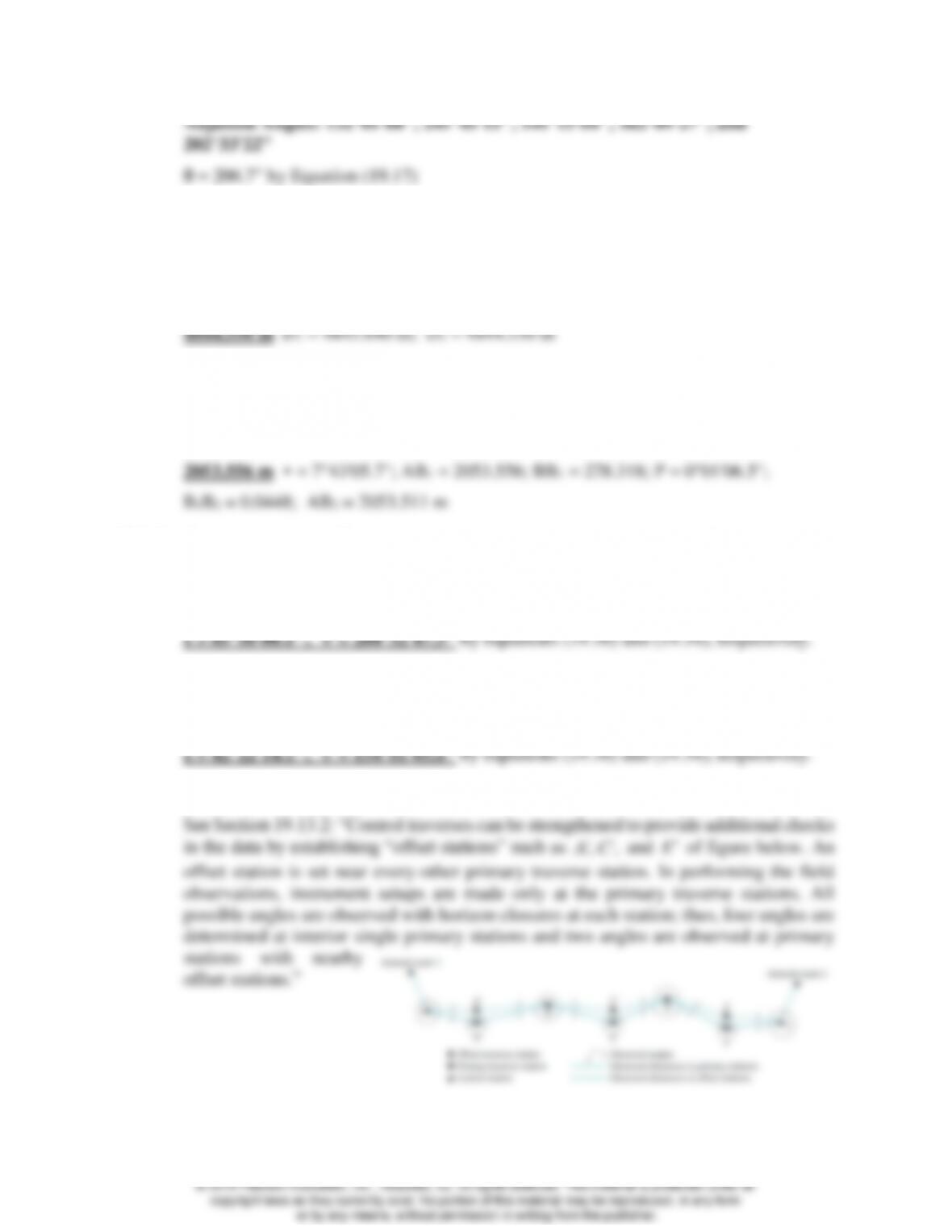
19.33 Describe how a control traverse can be strengthened.
19.34 What is the orthometric height of a point? … geodetic height of a point?
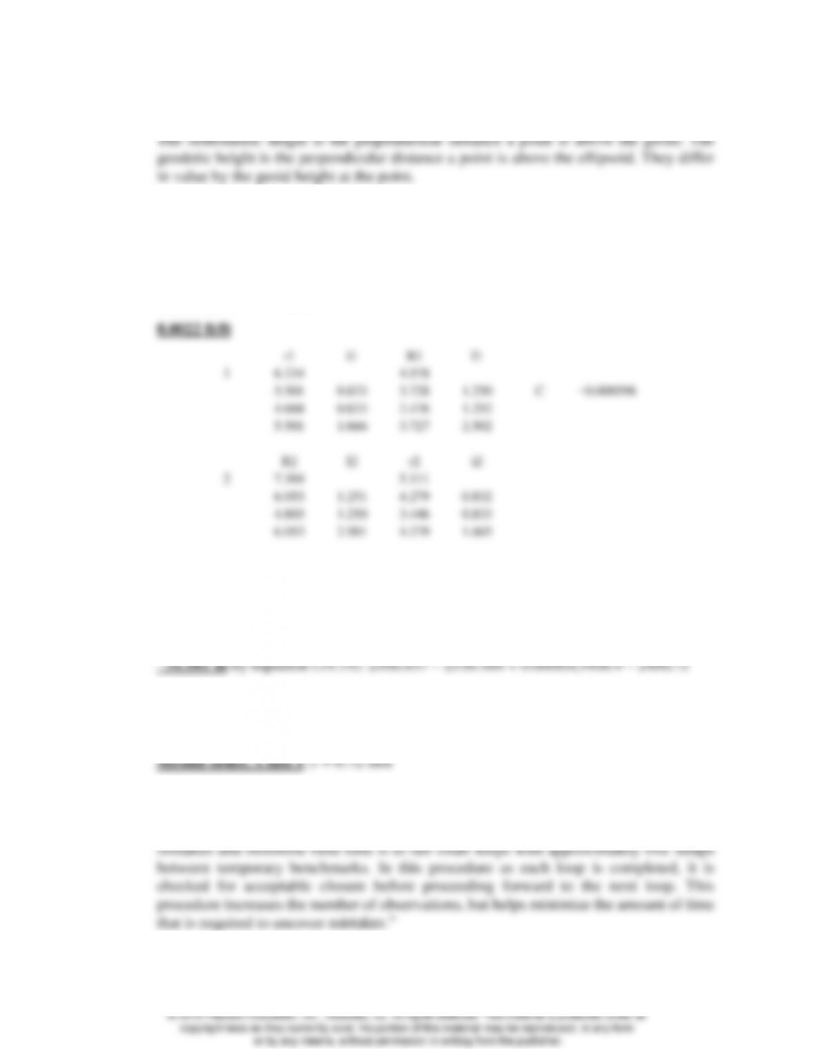
19.35 Compute the collimation correction factor C for the following field data, taken in
accordance with the example and sketch in the field notes of Figure 19.18. With the
instrument at station 1, high, middle, and low cross-hair readings were 6.334, 5.501, and
4.668 ft on station A and 4.978, 3.728, and 2.476 ft on station B. With the instrument at
station 2, high, middle, and low readings were 7.304, 6.053, and 4.803 ft on A and 5.111,
4.279, and 3.446 ft on B.
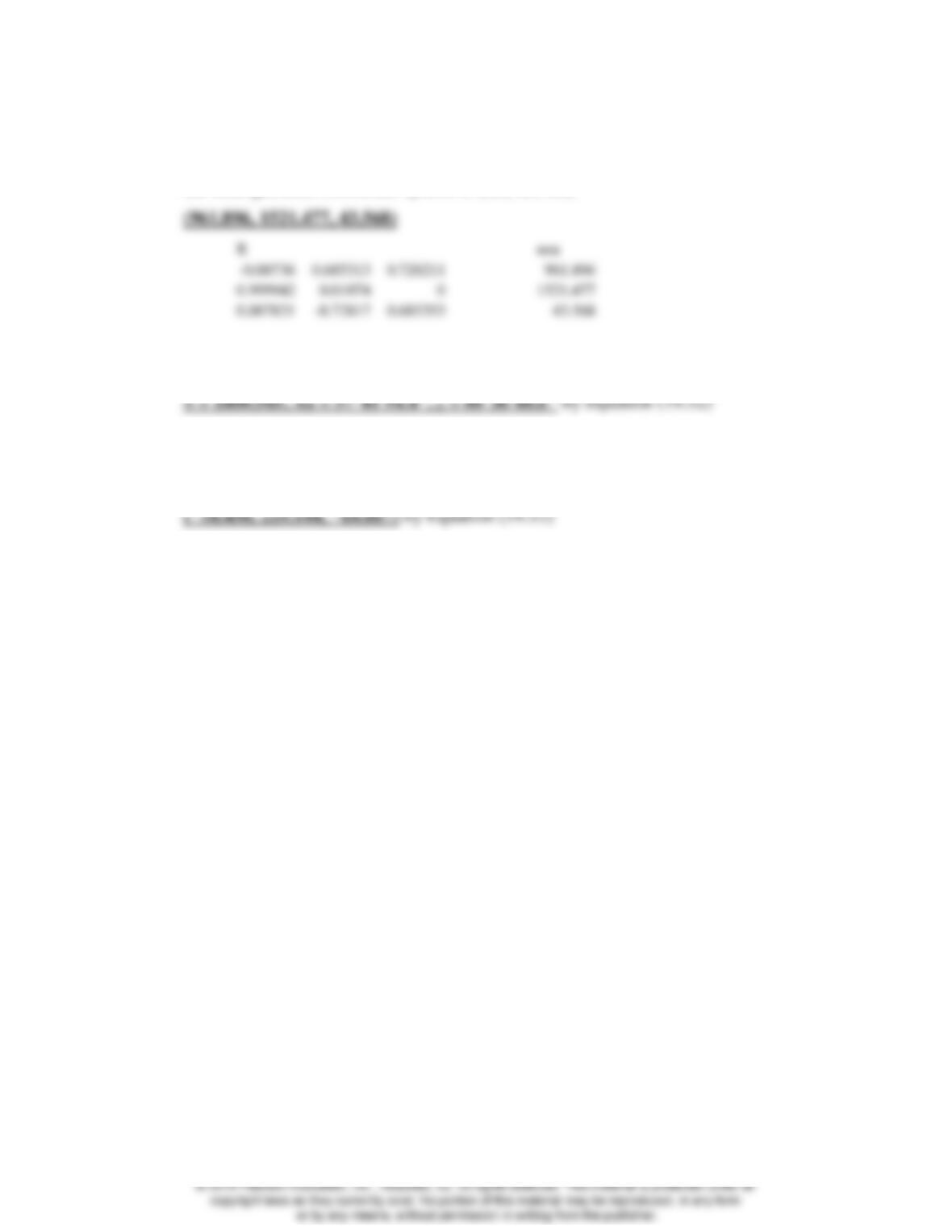
19.39 The baseline components of a GPS baseline vector observed at a station A in meters are
(1514.650, 643.816, 730.323). The geodetic coordinates of the first base station are
43°15′48.05796″ N latitude and 89°23′04.64831″ W longitude. What are the changes in
the local geodetic coordinate system of (∆n, ∆e, ∆u)?