18 MAPPING
Asterisks (*) indicate problems that have partial answers given in Appendix G.
18.1 What is the scale of the USGS 7-1/2 minute quadrangle map?
18.2* On a map drawn to a scale of 1:4800, a point has a plotting error of 1/30-in. What is the
equivalent ground error in units of feet?
18.3 Define the term cartography.
18.4 What federal agency in the United States is responsible for coordinating all mapping
activities at the federal level?
18.5 What is contained in a digital line graph?
18.6 What is contained in a digital elevation model?
18.7 According to U.S. National Map Accuracy Standards, how much horizontal positional
error is allowed in a map of scale 1:10,000?
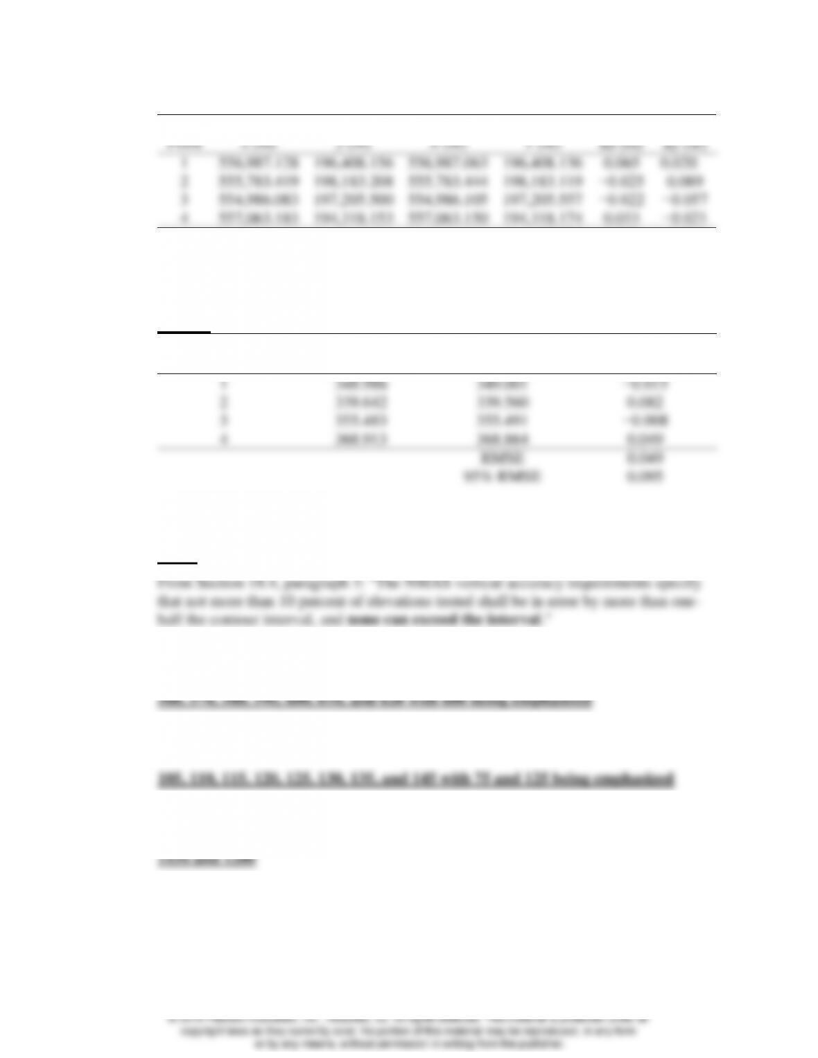
18.8 What is the 95% horizontal positional accuracy for the following set of data?
Map Coordinates
Check Coordinates
Discrepancies
Point
x (m)
y (m)
X (m)
Y (m)
∆x (m)
∆y (m)
1
556,987.128
196,408.156
556,987.063
196,408.136
0.065
0.020
2
555,783.419
198,183.208
555,783.444
198,183.119
−0.025
0.089
3
554,986.083
197,205.500
554,986.105
197,205.557
−0.022
−0.057
4
557,063.183
194,318.153
557,063.150
194,318.174
0.033
−0.021
RMSE
0.040
0.055
95% RMSE
0.117
18.9 What is the 95% positional vertical accuracy for the following data?
0.095 m
Map Coordinates
Check Coordinates
Discrepancies
Point
h (m)
E (m)
∆z
1
348.986
349.001
−0.015
2
339.642
339.560
0.082
3
355.483
355.491
−0.008
4
368.913
368.864
0.049
RMSE
0.049
95% RMSE
0.095
18.10* For a 20-ft contour interval, what is the greatest error in elevation expected of any
definite point read from a map if it complies with National Map Accuracy Standards?
±20 ft;
18.11 An area that varies in elevation from 556 to 623 ft is being mapped. What contour
intervals will be drawn if a 10-ft interval is used? Which lines are emphasized?
18.12 Similar to Problem 18.11, except elevations vary from 103 to 142 m and a 5-m interval
is used.
18.13 If a map is to have a 10-ft contour interval, which contours are labeled between the
elevations of 1130 and 1210 ft?
18.14 How is maximum effectiveness achieved in map design?
© 2018 Pearson Education, Inc., Hoboken, NJ. All rights reserved. This material is protected under all
18.15* What is the largest acceptable error in position for 90% of the well-defined points on a
map with a 1:24,000 scale that meets national map accuracy standards.
18.16 What questions must be answered before designing a map?
18.17 Discuss why insets are sometimes used on maps.
18.18* If a map is to have a 1-in. border, what is the largest nominal scale that may be used for
a subject area with dimensions of 604 ft and 980 ft on a paper of dimensions 24 by 36
in?
18.19 Similar to Problem 18.18, except the dimensions of the subject area are 1210 ft and 1575
ft.
18.20 If a map is to have 1-1/2 in. borders on the top and left sides and 1/2 in. borders on the
bottom and right sides what is the largest nominal scale that may be used for a subject
area with dimensions of 506 and 995 ft on a paper of dimensions 24 by 36 in?
18.21 If 90 percent of all elevations on a map must be interpolated to the nearest ±1 ft, what
contour interval is necessary according to the National Map Accuracy Standards?
Explain.
© 2018 Pearson Education, Inc., Hoboken, NJ. All rights reserved. This material is protected under all
18.22 If an area having an average slope of 8% is mapped using a scale of 1:2000 and contour
interval of 0.5 m, how far apart will contours be on the map?
18.23 Similar to Problem 18.22, except average slope is 3.3%, map scale is 400 ft/in., and
contour interval is 5 ft.
18.24* Similar to Problem 18.22, except average slope is 4%, map scale is 1:1000, and contour
interval is 0.5 m.
18.25* The three-dimensional (X, Y, Z) coordinates in meters of vertexes A, B, and C in Figure
18.14 are (5412.456, 4480.621, 248.147), (5463.427, 4459.660, 253.121) and
(5456.081, 4514.382, 236.193), respectively. What are the coordinates of the
intersection of the 250-m contour with side AB? With side BC?
4.974 16.928
18.26 The three-dimensional (X, Y, Z) coordinates in meters for vertices A, B, and C in Figure
18.14 are (5412.456, 4480.621, 124.381), (5463.427, 4459.660, 132.457) and
(5456.081, 4514.382, 119.604), respectively. What are the coordinates of the
intersections of the 125-m contour as it passes through the sides of the triangle?
18.27 Similar to Problem 18.26, except compute the coordinates of the intersection of the 128-
m contour.
Interpolations:
© 2018 Pearson Education, Inc., Hoboken, NJ. All rights reserved. This material is protected under all
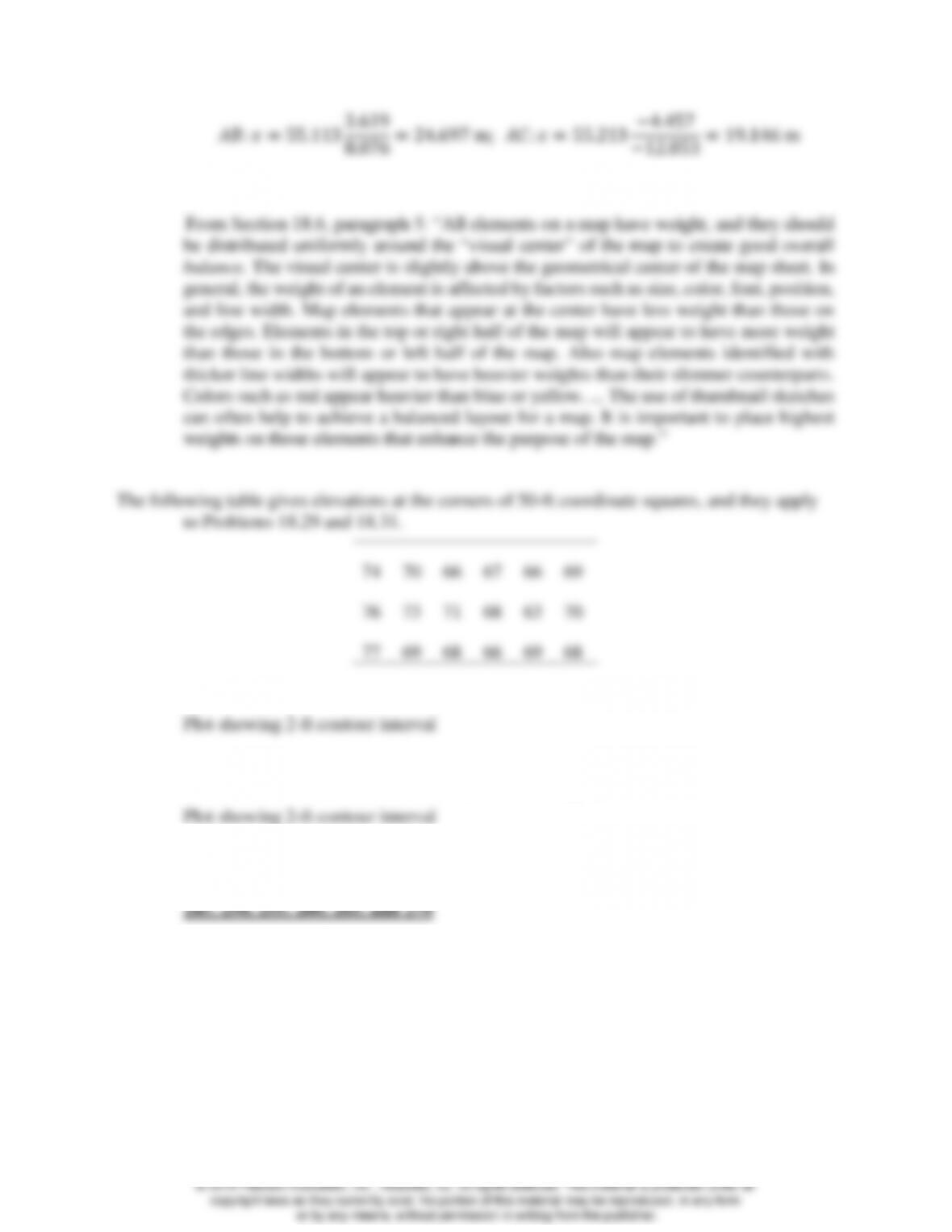
18.28 Discuss how balance is achieved on a map.

© 2018 Pearson Education, Inc., Hoboken, NJ. All rights reserved. This material is protected under all