1
A Look at the Geography of:
Brisbane, Australia and Akassa, Nigeria
Deborah Cancel-Roman
Geography 21062
Dr. Rebecca Parylak
December, 11th 2015
2
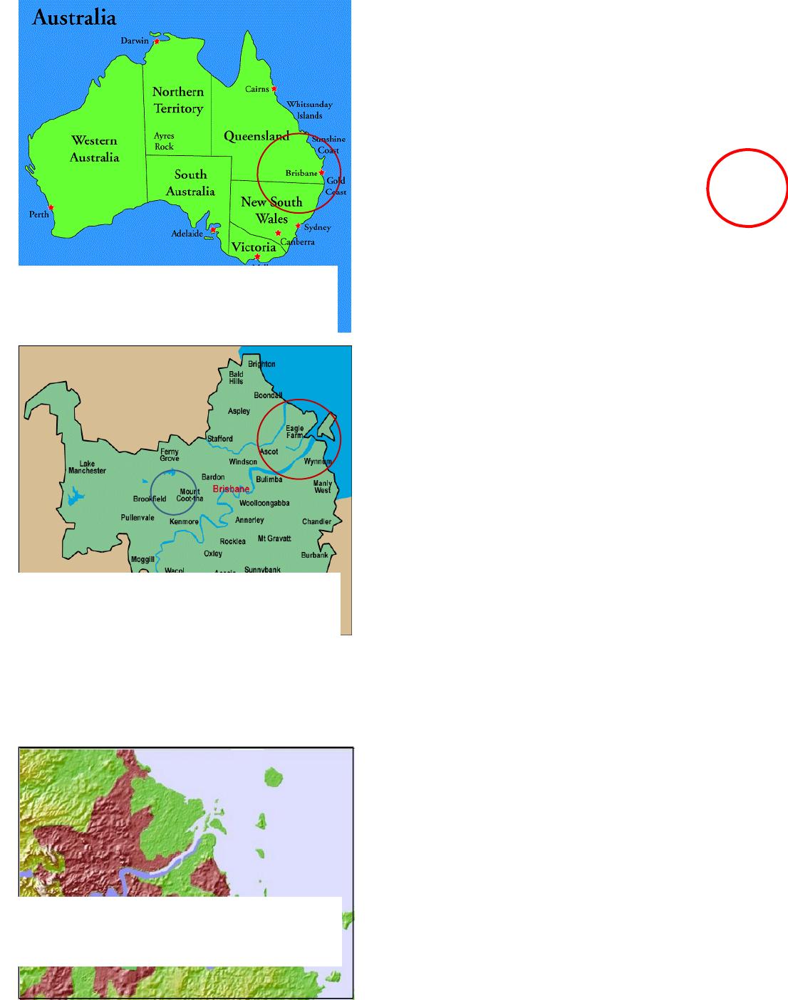
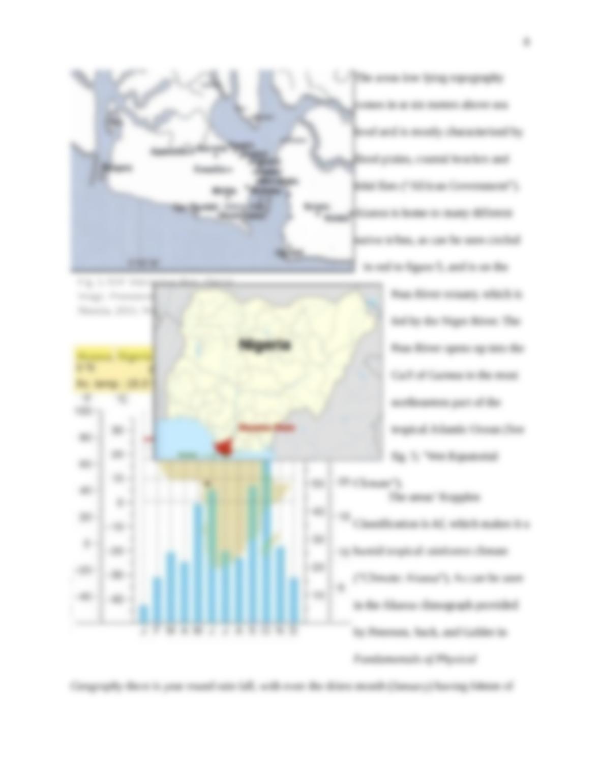
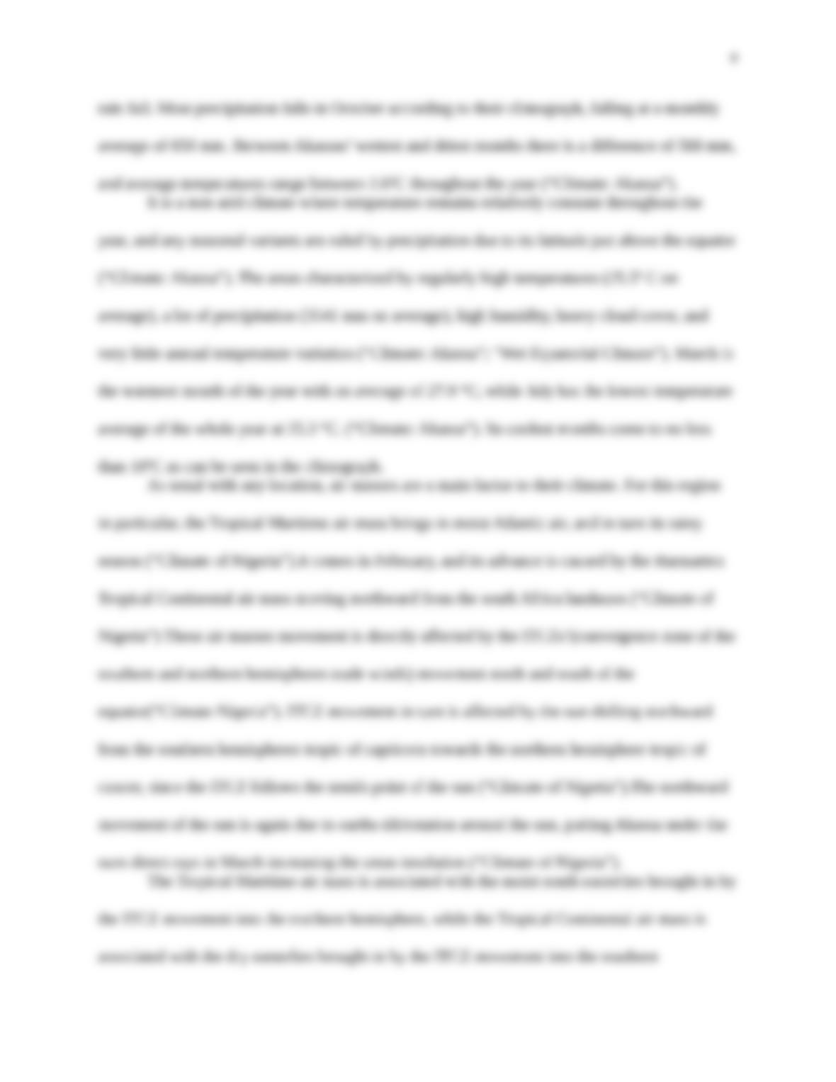
Brisbane, Australia lies 27° S, 153 ° E,
and as the capital of Queensland, makes up part
of the state’s Gold Coast to the Pacific Ocean
( See fig. 1; “Brisbane, QLD”; “Climate Data”).
The city is centered around the Brisbane River
which starts at Mount Stanley, travels 344km,
and flows out into Moreton Bay on its eastern
side (See fig.2; “Brisbane QLD”; Strategic
Guide 56). Moreton Bay is separated from the
Coral Sea by Moreton Island, along with other
smaller barrier islands (See fig. 2; “Brisbane
Geography”).
Wivenhoe Lake on the Brisbane River
was created by a dam, and on the southern side
of the river are the Kangaroo Point Cliffs made
from volcanic rock (“Brisbane QLD”). With an
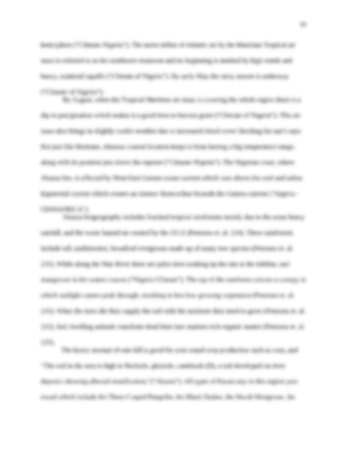
elevation of 10 meters, and most of the city in
the low lying Moreton flood plains (as seen in
red in figure 3), it has several creeks weaving through its suburbs (“Brisbane Geography”;
“Brisbane, Queensland”).
Brisbane’s otherwise hilly topography
can be seen in figure 3, as its western side sits
atop the Herbert Taylor Range (See fig.3;
Gregory 60; “Brisbane Geography”). Mount
Fig. 1. Map of Australia Region Political. Digital
image. Australia-map.blogspot. Blogger, n.d.
Web. 1 Dec. 2015.
Fig 2. Cagrici, E. Brisbane Map. Digital
image. Turkeyvisit.com
. Turkey Visit,2015. Web. 1
Dec.2015.
Fig. 3.Topographic Map of Brisbane. Digital
image. Weather-Forecast.com. Meteo365.com,
2015. Web. 03 Dec. 2015.
3
Coot-tha, circled in blue in figure 2,
is a prominent land mark in the city
as it reaches 300 meters above sea
level (“Brisbane Geography”). Also
along its western side, “Right in
Brisbane’s backyard at the foothills
of the once volcanic Great Dividing
Range lies the Scenic Rim,”
(“Brisbane Geography”). The Scenic
Rim is made up of three extinct shield volcanoes, which left behind beautiful highland areas
(“Brisbane Geography”).
Due to its geographical location, Brisbane experiences a humid subtropical climate
(“Brisbane, Queensland”).Or in other words, hot weather for most of the year (“Brisbane
Weather”). Under Kopplens Classification System, this is considered a Cfa climate (“Brisbane,
Queensland”). What that means for the city temperature and precipitation wise is; mild
temperatures, no dry season, and year round rain fall (“Brisbane, Queensland”). It also means the
city experiences moderate seasonality, hot and muggy summers with thunder storms, and mild
winters with precipitation from mid-latitude cyclones (“Brisbane, Queensland”).
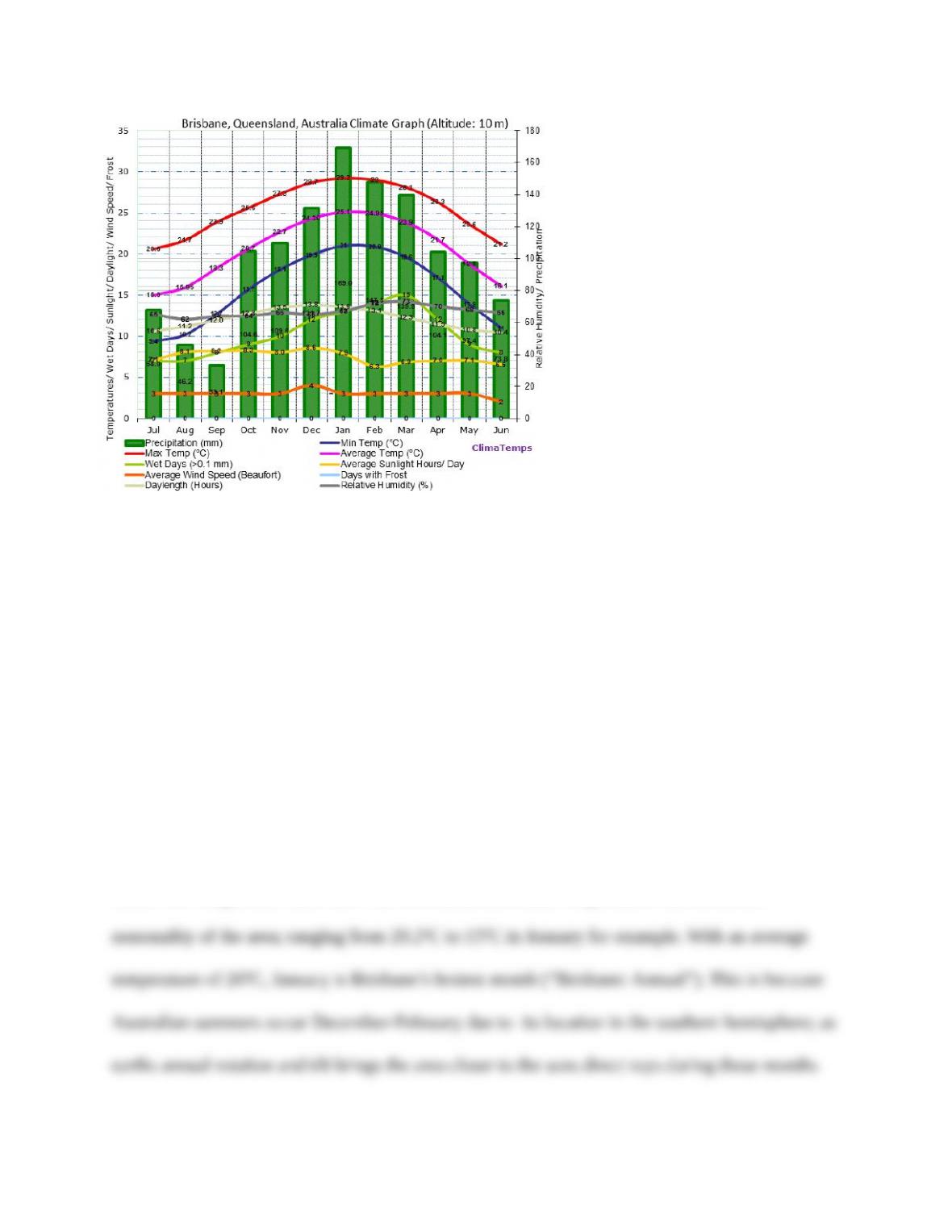
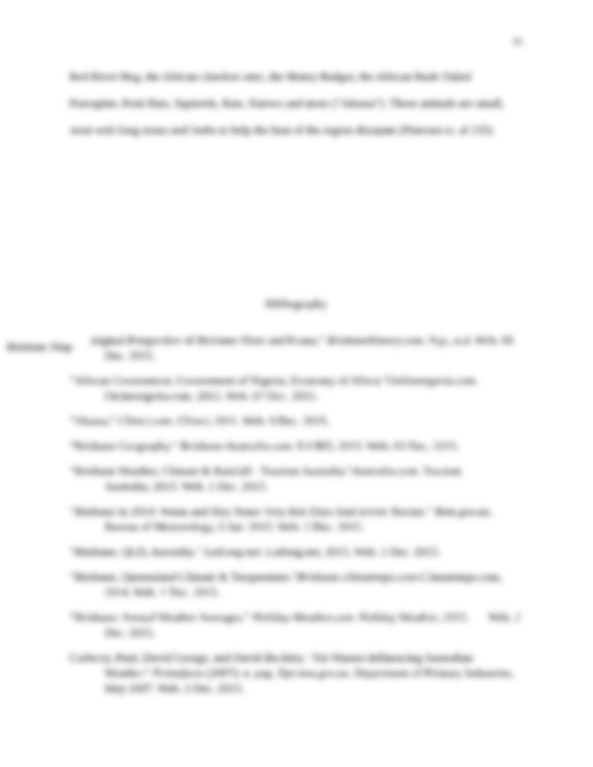
Climatemps.com climograph of Brisbane above exemplifies this classification in more
detail. The temperature lines show the aforementioned mild temperatures and moderate
Dec. 2015.
“African Government, Government of Nigeria, Economy of Africa.”Onlinenigeria.com.
Onlinenigeria.com, 2015. Web. 07 Dec. 2015.
“Akassa.” Chinci.com. Chinci, 2011. Web. 9 Dec. 2015.
“Brisbane Geography.” Brisbane-Australia.com. E-CBD, 2015. Web. 03 Dec. 2015.
“Brisbane Weather, Climate & Rainfall – Tourism Australia.”Australia.com. Tourism
Australia, 2015. Web. 1 Dec. 2015.
“Brisbane in 2014: Warm and Dry; Some Very Hot Days And severe Storms.” Bom.gov.au.
Bureau of Meteorology, 6 Jan. 2015. Web. 2 Dec. 2015.
“Brisbane, QLD, Australia.” LatLong.net. Latlong.net, 2015. Web. 1 Dec. 2015.
“Brisbane, Queensland Climate & Temperature.”Brisbane.climatemps.com.Climatemps.com,
2014. Web. 1 Dec. 2015.
“Brisbane: Annual Weather Averages.” Holiday-Weather.com. Holiday Weather, 2015. Web. 2
Dec. 2015.
Carberry, Paul, David George, and David Buckley. “Air Masses Influencing Australian
Weather.” Primefacts (2007): n. pag. Dpi.nsw.gov.au. Department of Primary Industries,
May 2007. Web. 2 Dec. 2015.