Vol. 13(38), pp. 1970-1979, 20 September, 2018
DOI: 10.5897/AJAR2016.11755
Article Number: 7E6CA5158565
ISSN: 1991–637X
Copyright ©2018
Author(s) retain the copyright of this article
http://www.academicjournals.org/AJAR
African Journal of Agricultural
Research
Full Length Research Paper
A study of poultry farms in Enugu State Nigeria and
mapping of their mechanization needs using Global
Positioning System (GPS) and Geographical
Information System (GIS)
Ozoemena A. Ani*, B. B. Uzoejinwa, N. K. Alameze and E. U. Ezugwu
Department of Agricultural and Bioresources Engineering, University of Nigeria, Nsukka, Enugu State, Nigeria.
Received 26 September, 2016; Accepted 26 April, 2017
Poultry has been identified by the World Bank funded Commercial Agricultural Development Program
(CADP) as a value chain in the agricultural sector of Enugu State and thus has the potential for
commercial agriculture. This work has investigated poultry farms in three production cluster areas in
Enugu State namely: Emene (in Enugu East) located on 6.523815°N, 7.4151535°E and 1236 ft; Ngwo (in
Enugu North/Udi) located on 6.523815°N, 7.57528°E and 572 ft and Nsukka located on 6.234754°N,
7.326473°E and 3422 ft. The study identified the position of each farm using Global Positioning System
(GPS) hand held device; their specific mechanization needs and challenges limiting the performances
of the farms using structured questionnaire, oral interviews and on–the-spot assessments. Position and
mechanization data were represented in a map using ArcGIS version 10.3. The farms visited produce
eggs, broilers or layers or combinations of them, and the sizes of the farms range from unit of
thousands to tens of thousands of birds; these generally are commercial poultry farms but of low or
medium scale levels. The survey reveals that most of the poultry farms are having the following
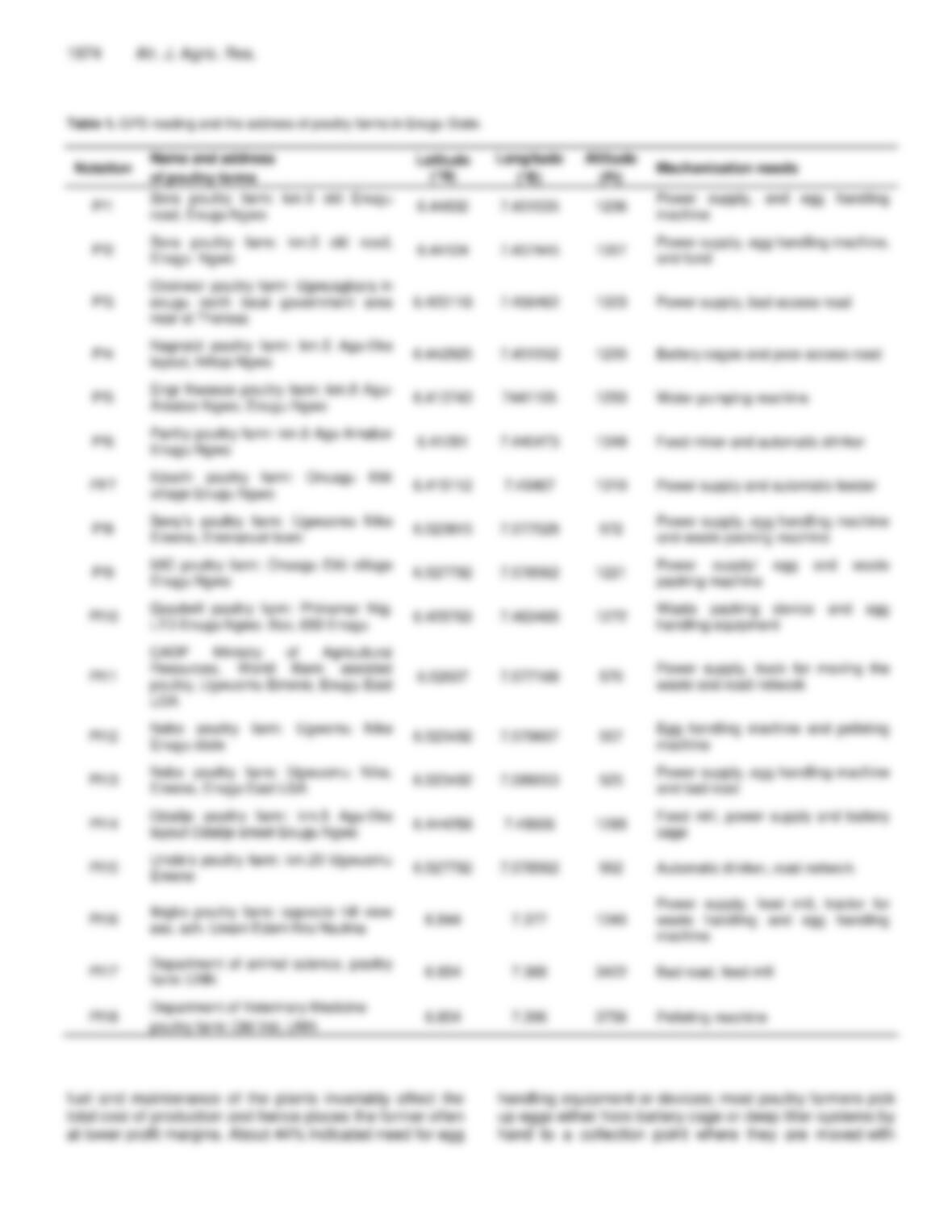
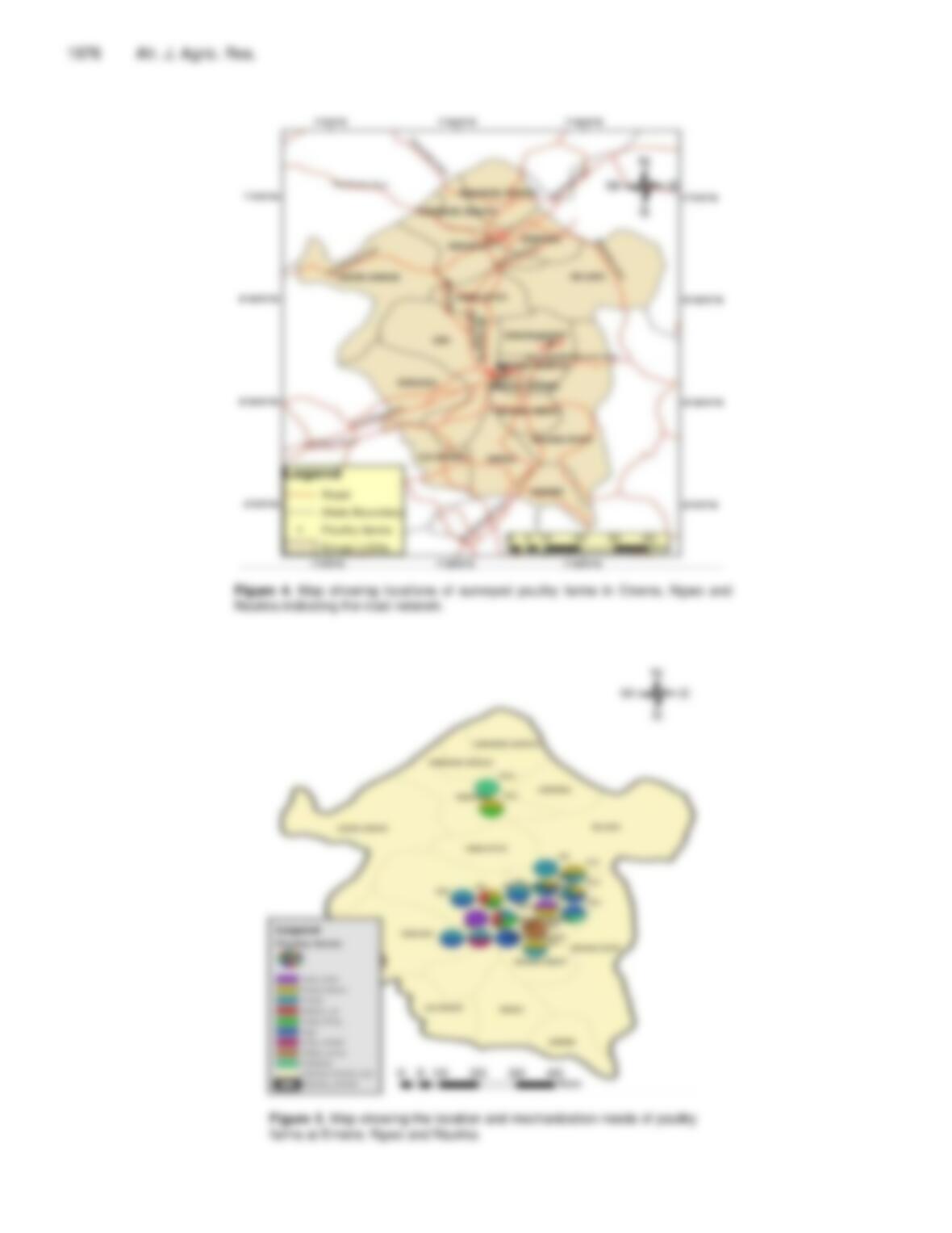
mechanization needs: Power supply, egg handling, road network, waste handling, feed mill, pelleting
machine, battery cage, automatic drinker, water pump, and automatic feeder; however the need
depends on the level of production. Other problems or challenges facing the farms visited as observed
during the survey are classified as management problems quantified as 60%, technical problems 30%
and the problem of cost 10%. Result of this work is a step further in developing and building up the
much talked about commodity-specific data base system for agribusiness decision support and
development in the local area.
Key words: Mapping, poultry farms, mechanization needs, Global Positioning System (GPS), Geographical
Information System (GIS).
INTRODUCTION
Poultry production is one of the major agricultural
production activities going on in Enugu State of Nigeria.
Poultry alongside with fruit trees (citrus, mango, guava,
pineapple and cashew) and maize has been identified by
the World Bank funded Commercial Agricultural
Development Program as a value chain in the agricultural
sector of Enugu State and thus has the potential for
commercial agriculture (CADP-AB3498, 2009). Both rural

and urban dwellers are involved at varying levels. In
urban or semi-urban areas, people operate poultry
production systems at either subsistent, usually as a part
time job or at commercial level. The level of production
determines the land space, scale, technological
application and other input resources. According to
Adene (2010), commercial poultry production system is
industrial in nature, large scale, dense and involves
uniform stocks of modern poultry hybrids. It is capital and
labour intensive as well as inputs and technology
demanding. On the other hand, the rural poultry is by
convention a subsistence system which comprises stocks
of non-standard breeds or mixed strain, types and ages.
It is generally of small scale, associated with household
or grass root tenure and little or no veterinary inputs. The
rural poultry sector is therefore in its original sense, a
village-based, household or individual holding, an
occupation which has however been extended to non–
village settings in semi-urban localities, mainly by the
middle class dwellers. However, between these two
distinct systems, intermediate grades have evolved over
time, in response to the national agro economy and
consumer demands. This constitute what is now globally
regarded as “family poultry” comprised of the rural or
indigenous poultry types in some cases or a mixture of
both indigenous and exotic hybrids or even totally exotic
breeds. Available information shows that the scale of
operation can range from stocks of a few units or a few
dozens of a variety of poultry birds in the household
poultry to tens or hundreds of thousands of chickens in
the grades of commercial poultry (Adene, 2009).
Considering the contribution of poultry business to the
economy of the state and the country at large, it is
important to develop a good information network and
data base system for decision support for poultry and
allied business ventures. Also it is necessary to pursue
full mechanization of the system in order to serve the
growing population for both food and raw material for
industries. Agricultural mechanization is the application of
mechanical technology and increased power to
agriculture, largely as a means to enhance the
productivity of human labour and often to achieve results
well beyond the capacity of human labour (UNIDO-FAO
2008). In Africa and specifically in Nigeria, record keeping
and information management and retrieval systems are
still generally unsatisfactory. Researchers, investors,
government and farmers usually find it difficult to find or
have access to needed information or data which may be
necessary in different aspects of their specific interests.
This research therefore seeks to contribute to solving this
problem; and precisely in the aspect of poultry business
in Enugu State by providing a map showing location of
Ani et al. 1971
farms and their mechanization needs. The specific
objectives include to identify the existing locations of
some selected poultry farms in Enugu State using GPS,
determine the mechanization needs and other challenges
of these poultry farms through on-sight investigation, oral
interviews and structured questionnaire and to represent
the farms and their mechanization needs in a map using
GIS software.
GIS and GPS as powerful information and
management tools
Geographical Information System (GIS) is a high
technological mapping system that integrates hardware,
software and data for capturing, managing, analyzing and
displaying all forms of geographically referenced
information. GIS makes it possible to view, understand,
question, interpret and visualize data in many ways that
reveal relationships, patterns and trends in the form of
maps, globes, reports and charts (ESRI, 2010). By using
GIS, scientists can research changes in the environment;
engineers can design road systems; electrical companies
can manage their complex networks of power lines;
government can track the uses of land; fire and police
departments can plan emergency routes. Many private
businesses have begun to use a GIS to plan and improve
their services.
For agricultural purposes, GIS can be used to produce
and read maps. Its major advantage is that it permits
identifying spatial relationships between specific different
map features. It can create maps in different scales,
projections and colors. But it is not just a map making
tool. It is primarily an analytical tool that provides new
ways of looking at, linking and analyzing data by
projecting tabular data into maps and integrating data
from different, diverse sources. It accomplishes these by
allowing creation of a set of maps, each with different
theme such as soils, rainfall, temperature, relief, water
sources, etc. From its early beginnings, GIS has been an
integrating technology both from the point of view of its
development as well as its use. This is because, once
geographic information of any kind is translated into the
digital form in a GIS, it becomes easy to copy, edit,
analyze, manipulate and transmit (Maguire et. al., 1990).
Some potential agricultural applications where GIS can
lead to better management decision are: Precision
farming, land use planning, watershed management, pest
and disease management, irrigation management,
resources inventory and mapping, crop area assessment
and yield forecasting, biodiversity assessment, genetic
resources management, etc. (Aronoff, 2010). Information
*Corresponding author. E-mail: ozoemena.ani@unn.edu.ng, benjamin.uzoejinwa@unn.edu.ng.
Author(s) agree that this article remain permanently open access under the terms of the Creative Commons Attribution
License 4.0 International License
1972 Afr. J. Agric. Res.
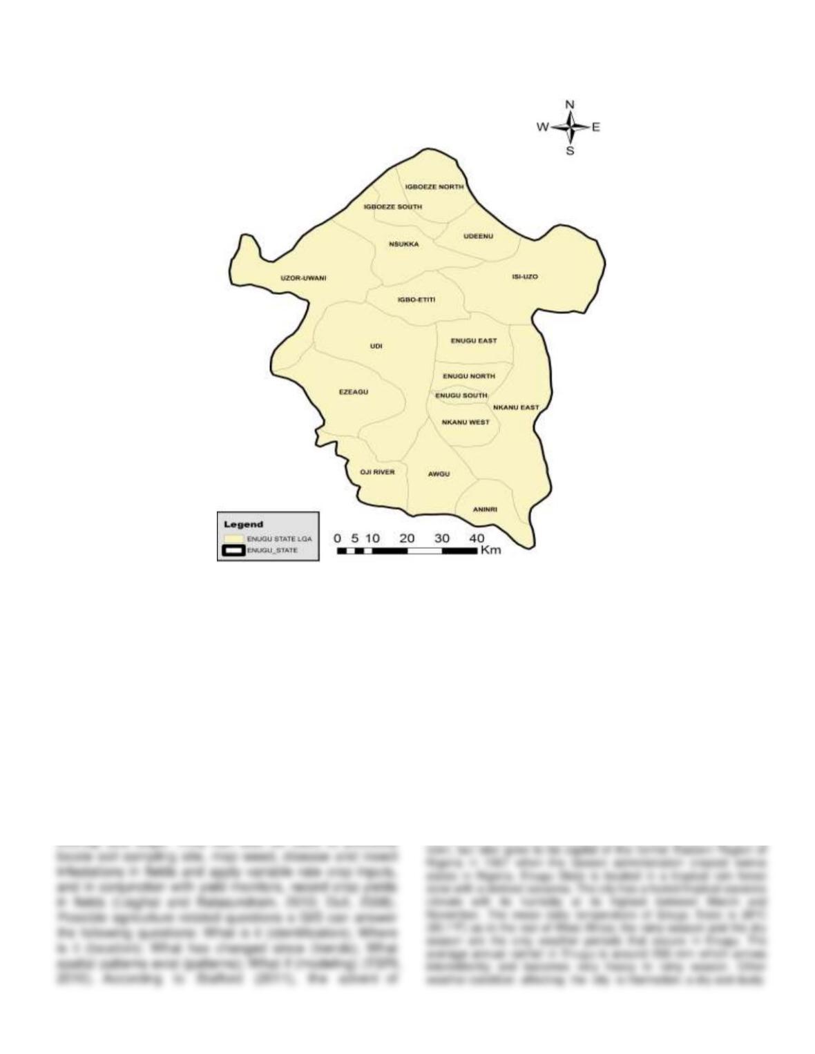
Figure 1. Map of Enugu state showing the local governments.
and data on poultry business can be collated and/or
accessed on the internet and used to create intelligent
maps for better farm business practices (Xie and Wang,
2007). Khaleda and Murayama (2013) employed GIS in
the delineation of the suitability of poultry sites in Gazipur,
Bangladesh. Hassanein et al. (2012) applied GIS as a
decision support system in planning the expansion of
poultry farms in Egypt. Omodele et al. (2014) employed
GIS in analysing the spatial distribution of poultry farms in
Delta State.
On the other hand, GPS is applied in agriculture for
guidance of equipment such as sprayers, fertilizer
applicators and tillage implements to reduce excess
information technology has accelerated our ability to
acquire large volumes of spatial data. It is widely
acknowledged that the key technologies facilitating the
modern precision agriculture are yield monitor, remote
and proximal sensing, GPS and GIS.
MATERIALS AND METHODS
Description of the study area
Enugu State (Figure 1) was created on August 27, 1991 with the
city of Enugu as its capital. The State derived its name from the
capital city which was established in 1912 as a small coal mining